Aare hiking with distant views


- 4:45 h
- 18.68 km
- 210 m
- 180 m
- 521 m
- 567 m
- 46 m
- Start: Münsingen
- Destination: Thun
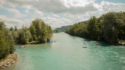
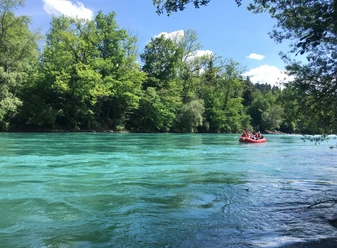
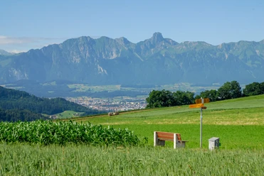
From Münsingen station, the path leads via Dorfmatt to the stream "Inneri Giesse". To the left, follow the nicely arranged stream course to Belpbergstrasse. Then keep right; shortly after, you cross the motorway and also the Aare at the pool. Continuing above the Aare on the slope of Belpberg. Passing the Neumatt farmstead, you reach the Ochsematt homestead with magnificent views of the Aare landscape and the Alps. The descent at Hof Breitenried is easy; the following riverside stretch is wild. You will find floodplain forest, rapids, sandy bays, and reed beds. Behind the Ristorante Al Fiume, the riverside path begins again, stretching until just before Jaberg. You cross to the other Aare bank via the Jaberg bridge. The route to the mouth of the Rotache runs through an untouched riverside landscape, where you can spot river snipes, little ringed plovers, and white-throated dippers. The Rotachesteg footbridge is somewhat inland; at Uttigen, you must briefly detour again and cross the Aare on the footpath of the railway bridge. Slowly, the nearby city of Thun announces itself: the paths along the now built-up Aare become wider, the floodplain forest is sparse. Coming from Eriz, the Zulg flows into the Aare. Another Aare crossing later, you reach the Schwäbis district with the hydroelectric plant and the popular Aare bath, shortly thereafter the city center of Thun. High up on the hill sits the castle. The hike leads over Mühleplatz and the upper Aare lock to the station.
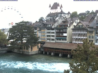
Background: Thun Castle with its four distinctive towers is an impressive medieval building. It was built in the 12th century by the Zähringers and is today a nationally significant museum castle. A journey through 800 years of history is possible.

Good to know
Pavements
Best to visit
Directions
Equipment
We recommend the following equipment: light trekking shoes, a light backpack, sun protection, rain jacket, pocket first aid kit, light picnic, enough fluids, mobile phone.
Directions & Parking facilities
Return: by train from Thun
Additional information
Literature
License (master data)
Author´s Tip / Recommendation of the author
Safety guidelines
This route runs exclusively on signposted paths in the hiking trail category.
Map
Nearby