- 2:25 h
- 8.38 km
- 270 m
- 260 m
- 859 m
- 1,044 m
- 185 m
- Start: Eriz / Losenegg
- Destination: Eriz / Säge
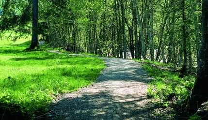
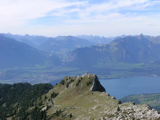
From the bus stop Eriz / Losenegg you follow the signs towards Koppisbrügg. This leads us on a road past beautiful farms, initially still with a view of the ice-covered peaks around Doldenhorn and Balmhorn. After about 20 minutes, you turn right onto a hiking trail that leads down through the forest to Koppisbrügg, where there is a barbecue area and benches. Here you have a wonderful view into the Zulg gorge, which shows you the incredible power of the water. After crossing the Zulg you reach a road after a short climb. Here you turn left and follow the hiking trail to Rüttegg. At the fork you turn left again towards Eriz / Linden. Then you follow the hiking trail along meadows, fields and forests until it meets the Zulg again. After the bridge, turn right and follow the signposted Zulg path. Now it goes along the Zulg, often with a view of the Hohgant massif lying in front of you. Shortly before you reach the road, there is a playground with a well-equipped barbecue area. The bus stop Säge next to the restaurant of the same name is reached in five minutes on the road.
Background: The Zulg springs under the name Fallbach near the Grüeneberg pass in the karst landscape between the Sibe Hängste and the Hohgant, in the Hohgant landscape protection area. After 23.5 km, the Zulg finally flows into the Aare near Steffisburg. In 2024, the Zulg was awarded the «Water Oscar» and was thus honored by the Association of Water Pearls and the WWF as natural and therefore particularly valuable. The handover took place at Koppisbrügg. The covered wooden bridge, which collapsed in 1986 and was reopened in 1987, is the oldest crossing in the Zulg valley.

Pavements
- Street (5%)Asphalt (38%)Path (24%)Trail (9%)Gravel (23%)
Best to visit
- suitableDepends on weather
Directions
- Losenegg – Koppisbrügg – Koppis – Rüttegg – Innereriz
Equipment
We recommend the following equipment: Light trekking shoes, light backpack, sun protection, rain jacket, first aid kit, light picnic, enough fluids, mobile phone.
Directions & Parking facilities
- Public transportationOutbound: by bus to Eriz / Losenegg
Return: by bus from Eriz / Säge
Additional information
- Berner Wanderwege, 031 340 01 01, info@beww.ch, bernerwanderwege.ch
Literature
License (master data)
Author´s Tip / Recommendation of the author
- Starting from the destination of this hike, Innereriz, an attractive circular hike is possible. Along the Zulg it goes westwards to the bridge and then right to Bödeli (point 1011). From there the hiking trail leads over Ramegg and Hängst to the junction Unterer Scheidzaun. There you turn right to the Rotmoos moor area. Over Scheidzaun it goes back to Innereriz (marked yellow, 2 h 15 min, 350 meters altitude difference).
Safety guidelines
This route runs exclusively on signposted paths of the category hiking trail.
Map
- swisstopo hiking maps: 254T Interlaken, 244T Escholzmatt