At the foot of the Bäderhore


- 3:50 h
- 12.76 km
- 230 m
- 1,030 m
- 816 m
- 1,700 m
- 884 m
- Start: Jaunpass
- Destination: Boltigen
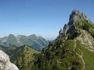
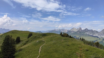
From Jaunpass, follow the alpine road towards Bäderhore to Alp Grosse Bäder, where you can already enjoy a pleasant stop. The higher you climb, the more the striking rock towers of the Gastlosen come into view to the west. From the alp, continue following the signposts towards Chlus. First on an alpine road, then on a hiking trail through the forest, which is left again shortly before Alp Buufeli. From the alpine hut, follow a high path with beautiful views into the Simmental, passing a small shelter on the roadside, until the Uf Pfad junction (P.1691). Here we keep right and descend to Alp Flue. Another short descent through the forest follows to the next junction at Alp Rieneschli. We turn right and descend through the Reidiggrabe towards Chlus, always with the rock towers of Chemiflue and Trimlehore in sight. Upon reaching the valley basin at Chlus, we come onto a forest road. This road is occasionally followed on short hiking path sections but mostly on the road itself, descending to Schwarzenmatt and finally following the signposts for the last short section to Boltigen station.

Good to know
Pavements
- Trail (28%)Street (34%)Path (37%)
Best to visit
- suitableDepends on weather
Directions
- Jaunpass – Grosse Bäder – Uf Pfad - Rieneschli – Chlus – Schwarzenmatt - Boltigen
Equipment
- We recommend the following equipment: sturdy mountain boots, medium-sized backpack with hip belt, sun protection, rainwear, hiking poles, first aid kit, picnic, sufficient fluids, mobile phone.
Directions & Parking facilities
- Public transportation
Arrival: by bus from Boltigen station to Jaunpass, restaurant
Return: by train from Boltigen station
Additional information
- Bernese Hiking Trails Association, Bern, Tel.: 031 340 01 01, E-mail: info@beww.ch, Homepage: www.bernerwanderwege.ch
Literature
- Hiking book Bernese Oberland of the Bernese Hiking Trails
License (master data)
Safety guidelines
- This route runs wholly or partly on marked paths of the mountain hiking trail category.
Map
- Swisstopo hiking map: 253T Gantrisch