- 3:50 h
- 9.07 km
- 750 m
- 750 m
- 1,378 m
- 2,057 m
- 679 m
- Start: Legerlibrügg
- Destination: Legerlibrügg
From the junction at the Legerlibrügg parking lot, we follow the signs to the Geltenhütte and hike downhill through the spruce-dominated mountain forest. The Geltenbach usually accompanies us with a rushing sound along the path. After crossing a bridge over the stream, we enter a small high valley. At the end of this valley, the impressive Geltenschuss comes into view, which we approach over flowering meadows. Soon the path ascends more steeply in a zigzag on the right side of the Geltenschuss. Shortly after the small waterfall, a trail leads to an exposed spot with a view of the stream plunging into the depths of the Geltenschuss. Then we cross the Geltenbach and continue ascending on the left side of the stream to the strikingly beautifully located Geltenhütte.
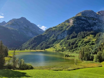
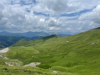
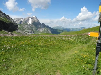
From the hut, the path briefly goes uphill over a grassy knoll with a distinctive flagpole with the Swiss flag. The mountain trail then continues without major changes in altitude through the grassy slopes to the Usseri Gälte alpine huts. Shortly afterwards, the trail becomes more exposed; some sections of the part called Geltentrittli are therefore secured with wire ropes. Finally, we come to a ladder-like staircase that descends overcoming a rock step. After this section, the exposed passages end and we reach the Chüetungel alpine huts descending over gentle alpine meadows. From here, a direct descent leads to Lauenensee. We choose the slightly longer but more scenic descent via Tungeltrittli and Vorschess back to the Lauenensee/Legerlibrügg bus stop.

Pavements
- Path (91%)Trail (6%)Street (3%)
Best to visit
- suitableDepends on weather
Directions
- Legerlibrügg – Geltenschuss – Geltenhütte – Chüetungel – Vorschess – Legerlibrügg
Equipment
- We recommend the following equipment: sturdy hiking shoes, medium-sized backpack with hip belt, sun protection, rainwear, hiking poles, pocket first aid kit, picnic, enough fluids, mobile phone.
Directions & Parking facilities
- Public transportation
Arrival: by bus from Gstaad railway station to Lauenensee
Return: by bus from Lauenensee to Gstaad railway station
Additional information
- Berner Wanderwege Association, Bern, Tel.: 031 340 01 01, e-mail: info@beww.ch, homepage: www.bernerwanderwege.ch
Literature
- Hiking book Berner Oberland of the Berner Wanderwege
License (master data)
Safety guidelines
- This route runs wholly or partly on mountain hiking trails.
Map
- Swisstopo hiking map: 263T Wildstrubel 1:50,000