- 6:00 h
- 14.62 km
- 1,200 m
- 1,200 m
- 1,978 m
- 2,760 m
- 782 m
- Start: Grimsel Pass
- Destination: Grimsel Pass
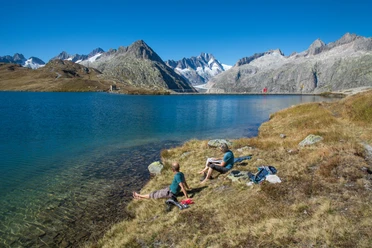
The Grimsel Pass summit at 2164 m altitude forms not only the border between the cantons of Bern and Valais but also a notable European watershed: to the south, water flows into the Rhone and thus into the Mediterranean Sea. To the north, the waters of the Aare flow into the Rhine and with it into the North Sea. From the pass summit with the almost arctic atmosphere radiating from the Totensee, follow the road to Oberaar for about 10 minutes. A footpath then branches off uphill on the slope and winds steeply in a zigzag to the hut at Husegg (to Triebtenseewli 40 min). Even now, the grandeur of this unique landscape can be admired: colorful lichens dot the granite rounded hills. Rust-brown spots indicate iron-rich rocks. The high Bernese and Valais peaks form a mighty wreath around the pass summit. It is hard to get enough of the view.
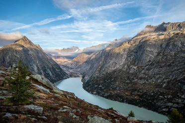
Over the ridge, after a good two-hour ascent, you reach the summit of the Sidelhorn. Here you stand right in the middle of the Grimsel mountain world! No less fascinating is the view into the Goms, on the brown villages surrounded by forests, alpine pastures, and rock towers. The descent leads southwest into a first ridge gap. After a short counter ascent, it goes down to the Triebtenseelicke and through the rock-strewn ridge flank to the Triebtenseewli. This is bypassed on the north side and ascended with a slight gradient to Bäregg. Magnificent view over the Oberaarsee and the Oberaargletscher to the Oberaarhorn. The arch dam of the lake was built from 1950 to 1953 and resulted in the flooding of the former Oberaar alp. Short and steep descent to the Oberaar mountain hut above the lake (to Oberaargletscher 50 min).
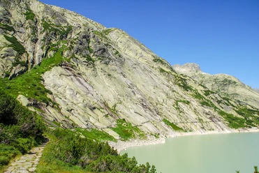
For the return journey, you first choose the same route via Bäregg to the Triebtenseewli (shortcut to the Grimsel Pass summit via the paved west road 50 min), cross the panoramic road and head north at Schwarze Nollen into the Zinggen slope. Magnificent views down to Grimselsee, Unteraargletscher, and to the slopes of the Sunnig Aar. At Chessituren, a beautiful view to Grimsel Hospiz. The path now descends to the first large hairpin bend of the pass road above the lake, called the «Chalten Cher» (to Grimsel Hospiz 45 min), then ascends quite steeply, crossing the pass road twice, to the Grimsel Pass summit.

Pavements
- Path (74%)Asphalt (5%)Street (1%)Trail (20%)
Best to visit
- suitableDepends on weather
Directions
- Grimsel Pass - Sidelhorn - Oberaar mountain hut - Grimsel Pass
Equipment
- We recommend the following equipment: sturdy mountain boots, medium-sized backpack with hip belt, sun protection, rainwear, hiking poles, first aid kit, picnic, sufficient fluids, mobile phone.
Additional information
- Bernese Hiking Trails Association, Bern, Tel.: 031 340 01 01, Email: info@beww.ch, Homepage: www.bernerwanderwege.ch
Literature
Hiking suggestion from the hiking book Bernese Oberland, hiking book series of the Bernese hiking trails
License (master data)
Safety guidelines
This route runs wholly or partially on marked paths of the mountain hiking trail category.
Map
Swisstopo hiking map 1:50,000 265T Nufenen Pass