


- 18:30 h
- 63.75 km
- 1,281 m
- 1,280 m
- 558 m
- 902 m
- 344 m
- Start: Train station Thun
- Destination: Train station Thun
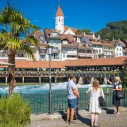
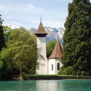
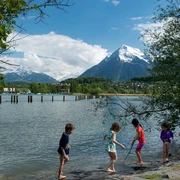
All around Lake Thun you will find beautiful viewpoints, impressive landscapes and cultural treasures. As you make your way around the circular route, you will see Lake Thun from ever-changing angles.
The route begins in Thun and leads through tranquil villages to Sigriswil, where a spectacular panoramic bridge high above Lake Thun may well cause butterflies in the stomach. The route then traces Lake Thun as far as Merligen and on to Interlaken, from where the path leads to the Meielisalp, high above Leissigen. The Meielisalp commands wonderful views of Lake Thun, and a second suspension bridge awaits. This bridge crosses the Spissibach stream at a height of almost 60 metres. Returning to sea level shortly before the Faulensee lake, hikers stroll along the lake shore to Spiez. The final section brings you back to Thun.
With 63 kilometres of hiking trails taking in dizzying bridges, fabulous panoramas and superb views across the lake, the everyday world seems far behind.
Stage 2 Sigriswil – Interlaken
Want to discover yet more hiking trails?
Learn more about the various hiking opportunities in the Bernese Oberland.

Good to know
Pavements
Best to visit
Directions
License (master data)
Author´s Tip / Recommendation of the author
Nearby


