- 3:30 h
- 4.49 km
- 450 m
- 450 m
- 1,520 m
- 1,955 m
- 435 m
- Start: Mountain station aerial cableway Isenfluh - Sulwald
- Destination: Mountain station aerial cableway Isenfluh - Sulwald
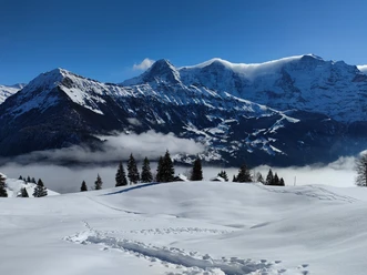
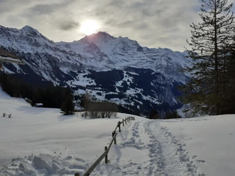
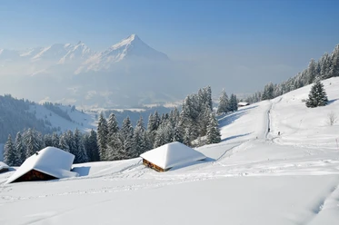
With the easy Sulwald Trail, which leads as a circular route over the Mederalp, or the somewhat more demanding Lobhorn Trail, which leads to the Lobhorn hut, there are two great snowshoe routes available. The starting and ending point of the trails is always the mountain station of the aerial cableway in Sulwald. Both trails are consistently signposted as blue and red routes. The Sulwald Trail can be safely walked with enough snow and offers a great panorama into the Jungfrau region throughout. The Lobhorn Trail should only be taken in good snow conditions or with sufficient knowledge. Attention: The Lobhorn hut is only staffed on weekends in winter!

Best to visit
- suitableDepends on weather
Equipment
- We recommend the following equipment: sturdy and waterproof mountain boots, light to medium backpack, cold protection, sun protection, hiking poles, small first aid kit, snacks, tea in a thermos bottle, mobile phone.
Directions & Parking facilities
- Getting thereVia Interlaken - Lauterbrunnen to Isenfluh / valley station aerial cableway.ParkingParking spaces at the valley station of the aerial cablewayPublic transportationOutbound and return journey: Via Interlaken by train to Lauterbrunnen and then by postal bus to Isenfluh. From there by aerial cableway to Sulwald.
Additional information
Bernese Hiking Trails Association, Bern, Tel.: 031 340 01 01, email: info@beww.ch, homepage: www.bernerwanderwege.ch
License (master data)
Safety guidelines
- This route is signposted as a snowshoe route but not specially prepared.
Map
- Swisstopo national map 1228 Lauterbrunnen 1:25,000