- 2:50 h
- 11.27 km
- 1,380 m
- 570 m
- 1,950 m
- 1,380 m
- Start: Beatenbucht
- Destination: Niederhorn
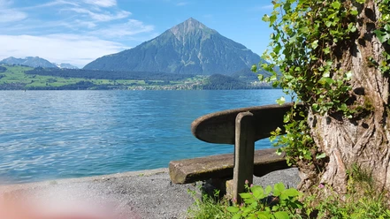
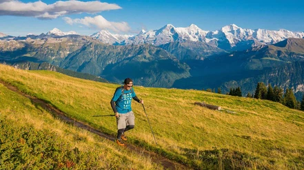
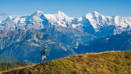
The Niederhornlauf trail running route starts in Beatenbucht directly on Lake Thun at 570 meters. After 3.7 kilometers and 560 meters of elevation, you reach Beatenberg. The route continues via Vorsass, Oberburgfeld to the highest point at 1,950 meters and further to the Niederhorn.

Best to visit
- suitableDepends on weather
Equipment
Basic equipment for trail running
- Clothing in a multi-layer principle with moisture transport
- Comfortable running shoes
- Running socks
- Trail running / running backpack
- Sun, rain, and wind protection (hat, sunscreen, waterproof and windproof jacket and pants)
- Sufficient provisions and drinking water
- Sunglasses
- Blister plasters
- Headlamp
- Mobile phone
- Cash
- Navigation device/map and compass
The lists for the "basic equipment" and the "technical equipment" are created based on the chosen activity. They do not claim to be complete and serve only as suggestions of what you should pack.
For your safety, you should carefully read all instructions for the proper use and maintenance of your device.
Please ensure that your equipment complies with local laws and does not contain prohibited items.
Directions & Parking facilities
- Getting there
From Interlaken towards Neuhaus – Beatus Caves to Beatenbucht
From Thun towards Oberhofen – Gunten – Merligen to Beatenbucht
ParkingParking garage of the Niederhorn cable cars (paid)Public transportationBus connection from Interlaken or Thun (STI Line 21) to Beatenbucht.
Additional information
- Note the timetable of the Niederhorn cable cars
Niederhornbahn AG
Schmockenstrasse 253
3803 BeatenbergTel.: +41 33 841 08 41
info@niederhorn.ch
www.niederhorn.chBeatenberg Tourism
Spirenwaldstrasse 168
3803 BeatenbergTel.: +41 33 841 18 18
info@beatenbergtourismus.ch
www.beatenberg.chInterlaken Tourism
Marktgasse 1
3800 Interlaken License (master data)