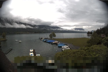
On the Way of St. James above Lake Thun


- 3:50 h
- 13.25 km
- 400 m
- 400 m
- 558 m
- 726 m
- 168 m
- Start: Merligen / Beatus
- Destination: Interlaken West / Station
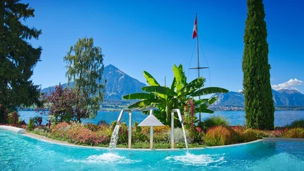
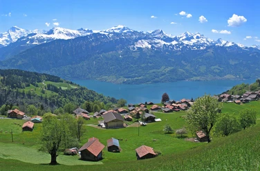
Starting at Merligen, the path ascends from the bus or boat station towards Justistal. At the top of the village, turn right onto the Via Jacobi, which here is also part of the Lake Thun panorama circular route. Continue on the pilgrimage trail to Beaten Bay / Fischbalme and, after crossing the Beatenberg railway track, ascend to the Wolhuseflue viewpoint. The view of the deeply situated Lake Thun and the mountain scenery is impressive. The location also provides a southern ambiance. The large quarry in Balmholz is bypassed on the hillside. Here, among other things, siliceous limestone is mined, a hard rock needed for railway track construction. Shortly afterwards, you reach the waterfall in front of the St. Beatus Caves. The path ascends through the park in front of the caves, then descends to the boat landing at Sundlauenen and shortly afterwards crosses the delta formed by the Sundbach stream. You follow the main road briefly, cross it, and reach Neuhaus via a forest path above the lake. From here, go through the Weissenau nature reserve. At the end of the restored promenade stands the ruin of the former Weissenau water castle, which offers a magnificent view of Lake Thun. Along the Aare canal, you reach Interlaken West station via Unterseen.
Background: The St. Beatus Caves extend inside the Niederhorn massif. Around 14 kilometers have been explored so far. According to legend, the caves served as a refuge for St. Beatus until his death in the 6th century, after he had defeated the dragon living there. The Weissenau nature reserve at the upper end of Lake Thun is a habitat for numerous plants and animals. Floodplains, fens, and the lakeshore provide food and breeding sites for birds; furthermore, this is the wintering area for many bird species – making the area well-suited for birdwatching.

Good to know
Pavements
- Street (10%)Asphalt (17%)Gravel (12%)Trail (26%)Path (35%)
Best to visit
- suitableDepends on weather
Directions
- Merligen – St. Beatus Caves – Sundlauenen – Neuhaus – Weissenau – Interlaken West
Equipment
We recommend the following equipment: lightweight trekking shoes, light backpack, sun protection, rain jacket, first aid kit, light picnic, sufficient fluids, mobile phone.
Directions & Parking facilities
- Public transportationOutbound: by bus or boat to Merligen / Beatus
Return: by train or boat from Interlaken West
Additional information
- Bernese Hiking Trails, 031 340 01 01, info@beww.ch, bernerwanderwege.ch
Literature
License (master data)
Author´s Tip / Recommendation of the author
- Visitors to the St. Beatus Caves can explore around one kilometer of the cave system. On the circular route, you can see fascinating dripstone formations such as stalactites and stalagmites, which are millions of years old. The caves can be visited year-round.
Safety guidelines
This route runs exclusively on signposted paths of the hiking trail category.
Map
- swisstopo hiking map: 254T Interlaken