- 1:00 h
- 1.02 km
- 80 m
- 80 m
- 1,936 m
- 2,012 m
- 76 m
- Start: Adelboden. Tschentenalp
- Destination: Adelboden, Tschentenalp

Berner Wanderwege
Pavements
- Trail (43%)Path (57%)
Best to visit
- suitableDepends on weather
Equipment
We recommend the following equipment: sturdy and waterproof mountain boots, light to medium backpack, cold protection, sun protection, hiking poles, personal first aid kit, snacks, tea in a thermos, mobile phone.
Directions & Parking facilities
- Getting thereBy car to AdelbodenParkingParking garage in the village center or parking lot at the Sillerenbühl cable carPublic transportationBy train to Frutigen. Then by bus to Adelboden village center. On foot to the valley station of the Tschentenalp cable car. Ride up to the mountain station.
Additional information
Association of Bern Hiking Trails, Bern, Tel.: 031 340 01 01, Email: info@beww.ch, Homepage: www.bernerwanderwege.ch
License (master data)
Safety guidelines
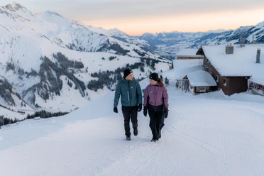
This route follows marked winter hiking trails.
Map
- Swisstopo national map 1247 Adelboden 1:25,000