- 3:30 h
- 7.15 km
- 500 m
- 500 m
- 1,650 m
- 2,078 m
- 428 m
- Start: Dürrenwald
- Destination: Dürrenwald
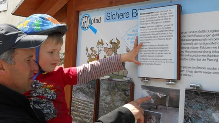
On a breathtaking, approximately 3 to 4-hour circular hike with beautiful views, you will learn interesting facts about yodeling. At 9 stations, topics such as the development of yodeling in Switzerland, various yodeling techniques, the connection to alpine culture, yodeling in America, and current trends are presented with texts and pictures. Sounds can be downloaded and listened to using QR codes on your smartphone or tablet. Much of this also revolves around the patron and content provider of the trail, the St. Stephan yodel conductor Ueli Moor.
The starting point of the trail is the Alp Dürrenwald, run by Ueli's brother Chrigel and his wife Susi, where after the hike (during the alpine season) you can enjoy a piece of alpine cheese, a small snack, or something to drink. For children, there are additional stations where a riddle is posed and solved at the end of the trail, at Alp Dürrenwald.
The short route to Alp Eggmatte and back can be accessed barrier-free.

Pavements
- Trail (67%)Unknown (27%)Path (5%)Street (1%)
Best to visit
- suitableDepends on weather
Directions
- Dürrenwald - Zigerritz - Flöschhore - Eggmatte
Directions & Parking facilities
- Getting thereVia Zweisimmen to St. Stephan/Grodey, then public mountain road towards Chatzenstalde and Dürrenwald.Public transportationThe yodeling trail is not accessible by public transport.
Additional information
St. Stephan Tourism, Lenkstrasse 80, CH-3772 St. Stephan, Tel. +41 33 722 70 80, tourismus@ststephan.ch, www.ststephan.ch
License (master data)
Map
- swisstopo hiking map 263T Wildstrubel 1:50000