- 4:40 h
- 8.86 km
- 1,100 m
- 1,000 m
- 1,134 m
- 2,153 m
- 1,019 m
- Start: Furen
- Destination: Gadmen
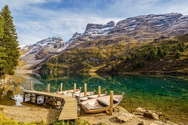
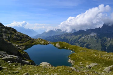
From the hamlet of Furen, a small road leads over the Gadmerwasser and initially for a while downhill in the valley. Then the route branches uphill and leads through pleasantly shady forest upwards. The path is sometimes very steep, then again it runs almost flat. Blueberry bushes at the roadside often invite a short snack break. It keeps going further upwards. At the alpine hut in the Hubel area, the tree line is reached, and the landscape transitions into an extensive moor area. Over a final strenuous steep section – at some rocky but harmless spots, you have to use your hands to help with the ascent – you reach the destination, the green shimmering Gadenlauisee. Unique is the silence that prevails here, far from the traffic down in the valley. The lake lies at the foot of the massive Radlefshorn. On the opposite valley side, an impressive panorama is presented from Titlis far in the east, over the sharply jagged Gadmerflue, the Tällistock and Planplatten to the Schwarzhorn between Brienz and Grindelwald. The descent to Gadmen follows the same path down to just below the alpine hut Hubel; after that, the route branches east and leads down to Gadmen as a steep zig-zag path.

Pavements
- Asphalt (4%)Gravel (7%)Trail (6%)Path (83%)
Best to visit
- suitableDepends on weather
Directions
- Furen - Gadenlauisee - Gadmen
Equipment
We recommend the following equipment: sturdy hiking boots, medium-sized backpack with hip belt, sun protection, rainwear, hiking poles, small first-aid kit, picnic, enough fluids, mobile phone.
Additional information
- Verein Berner Wanderwege, Bern, Tel.: 031 340 01 01, E-Mail: info@beww.ch, Homepage: www.bernerwanderwege.ch
License (master data)
Safety guidelines
- This route runs entirely or partly on mountain hiking trails.
Map
- Swisstopo hiking map 1:50,000 255T Sustenpass