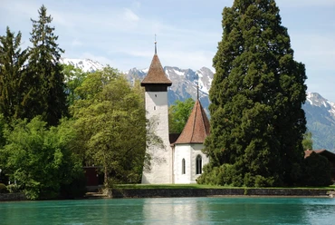
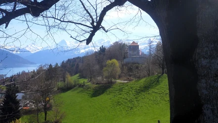
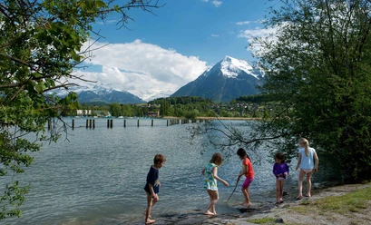
Around Lake Thun, Thun - Merligen


- 5:30 h
- 16.05 km
- 500 m
- 500 m
- 558 m
- 863 m
- 305 m
- Start: Thun, train station
- Destination: Merligen, Beatus bus stop

Good to know
Pavements
Best to visit
Directions
From Thun train station northwards over the Schwellen-/Göttibach bridge across the Aare, turn left after 90 meters.
Equipment
We recommend the following equipment: good footwear, light backpack, sun protection, rain jacket, first aid kit, sufficient picnic, plenty of fluids, mobile phone.
Directions & Parking facilities
Outbound trip: by train to Thun.
Return trip: from Merligen by STI bus to Thun or Interlaken West
Additional information
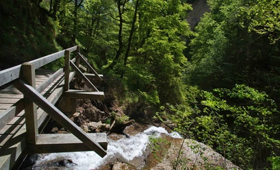
Suspension bridge (toll) detour possible via Gumischlucht
License (master data)
Safety guidelines
This route runs exclusively on marked paths of the hiking trail category. Good footwear and freedom from dizziness recommended!
Map
Swisstopo hiking map 253T Gantrisch & 254T Interlaken 1:50,000
Nearby