Blueme I


- 4:00 h
- 29.74 km
- 869 m
- 869 m
- 558 m
- 1,390 m
- 832 m
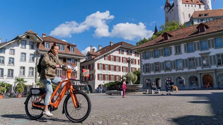
- Start: Thun, train station
- Destination: Thun, train station
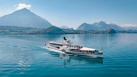
This route also offers beginners an ideal circular route to get an insight into mountain biking. In some sections, you will face small technical challenges where you can test your skills. You start at the train station in Thun and ride towards Hünibach. An ideal warm-up phase along the lake, two climbs, and a beautiful descent characterize the route. Once you reach the "Blueme", it is recommended to take a break and climb the impressive lookout tower. Not only on the tower but also along the way, your bike ride is crowned with an excellent view over the mountain world, Lake Thun, and far into the Mittelland as well as into the Emmental. The circular course "Blueme" offers various variants. Depending on skills and preferences, the route can be spiced up with more demanding single trails. Either way - the route is exceptionally beautiful and lives from the great view.

Good to know
Pavements
Best to visit
Directions
Thun – Hünibach – Hilterfingen – Heiligenschwendi – Blueme – Ringoldswil – Oberhofen – Hünibach – Thun
Also passable in the opposite direction. This route is not signposted.
Additional information
The information about duration, fitness, and technique depends on the chosen type of bike (mountain bike, e-bike, e-mountain bike, touring bike, racing bike). These are average guidelines.
Interlaken Tourism
Marktgasse 1
3800 Interlaken
Tel.: +41 33 826 53 00
mail@interlakentourism.ch
www.interlaken.ch
Thun-Thunersee Tourism
Seestrasse 2
3600 Thun
Tel.: +41 33 225 90 00
thun@thunersee.ch
www.thunersee.ch
License (master data)

Author´s Tip / Recommendation of the author
Download the GPS information or print out the map of the section Hilterfingen – Halten – Heiligenschwendi so you can find the way. This route is not signposted.
Nearby


Download GPX file