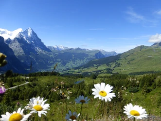
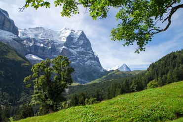
Escape the summer heat on a high-altitude path


- 5:30 h
- 14.91 km
- 1,300 m
- 540 m
- 1,210 m
- 2,164 m
- 954 m
- Start: Kaltenbrunnen
- Destination: Grosse Scheidegg
From the PostBus stop Kaltenbrunnen near Meiringen, you first follow the pass road uphill. After just 200 meters, the hard surface ends: the hiking trail branches off in a southwesterly direction and leads in many switchbacks up to Kaltenbrunnenalp, then soon turns south. Now you find your own route by orienting yourself on the white-red-white markings on the mountainside and briefly hike up a somewhat exposed rock (in the opposite direction, the route therefore requires surefootedness and a head for heights). Soon the altitude of about 2000 meters is reached, where you will stay until the end. By now even the greatest summer heat will have been shed.
High above the Reichenbach valley you head southwest to Alp Grindel. On the partly muddy path continuing to Breitenbodenalp, it is possible to spot ibex or chamois on the right-hand slope with a bit of luck. From Breitenbodenalp you use the alpine road into the valley. Soon the hiking trail to Hornseeli leaves the alpine road in a southwesterly direction. It climbs steeply but is less strenuous than it looks from below. In no time you reach the beautifully located Hornseeli, in whose water the mountains reflect.
From Hornseeli, you hike down towards Grosse Scheidegg. Before Scheidegg Oberläger, you could alternatively choose the wonderful path to Schwarzwaldalp, which leads with a view between blueberry bushes and past the Broch hut. This variant takes only about 20 minutes longer, but involves 500 meters of descent. The route to Grosse Scheidegg is easier on the knees. Once there, you can wait fairly sheltered from the wind at the small pond on the Meiringen side for the next PostBus.
Karin Meier

Good to know
Pavements
Best to visit
Directions
Equipment
Directions & Parking facilities
Outbound: PostBus from Meiringen to Kaltenbrunnen near Meiringen
Return: PostBus from Grosse Scheidegg to Grindelwald or Meiringen
Additional information
Literature
Hiking suggestion from the magazine wandern 02/19 of Berner Wanderwege
License (master data)
Safety guidelines
Map
Swisstopo hiking map 254T Interlaken & 255T Sustenpass 1:50,000
Nearby