- 3:35 h
- 14.19 km
- 130 m
- 140 m
- 558 m
- 654 m
- 96 m
- Start: Allmendingen near Thun / turning area
- Destination: Thun
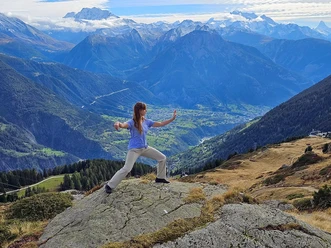
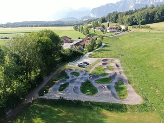
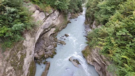
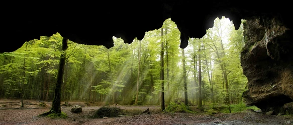
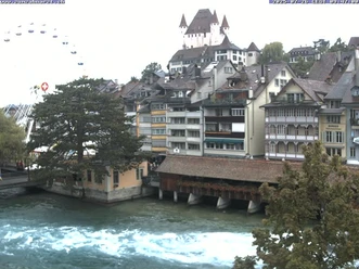
From the bus turning area in Allmendingen near Thun, the path briefly goes through Wylergasse, then branches off to the right and follows the renatured little stream. The view stretches over to the massive Stockhorn range; soon the gravel path leads into the open forest of the Glütschbachtal. Before the Kander was diverted into Lake Thun near Einigen, it used to flow here. Since then, the Glütschbach has flowed as an idyllic forest stream through the valley. At the dripstone caves, bizarre rock formations awaken the spirit of discovery. It continues to Guntelsey; near the shooting range, the path turns right into the forest. The forest path partly runs within earshot of the motorway to Alte Schlyffi, where the route turns left towards Gwatt. The motorway is crossed underneath, and after a short ascent, Gwattegg is reached. The high path to Strättligturm over the ridge of the Strättlighügel with its mighty chestnut trees offers a wonderful view of Lake Thun and the Alpine peaks. Now it goes down into the gorge of the Kander, crossed by the Strättlig bridge. At Chanderbrügg in Einigen, the route crosses the main road and leads through the floodplain landscape of Chandergriens in the Kander Delta nature reserve to Gwatt. From here a beautiful developed lakeside path through Bonstetten Park and to the Thun beach follows. A worthy conclusion to the varied hike is provided by Schadau Park with Schadau Castle and the 360-degree painting by Basel artist Marquard Wocher. From there, the path follows the ship canal to Thun station.
Background: The Glütschbachtal was once shaped by the Kander. Although a shooting range and the motorway are now present, the floodplain landscape has retained much of its natural character. The beaver feels just as comfortable as birds, fish, and amphibians. The Strättligturm was once a castle built by the barons of Strättligen. The Kander was diverted into Lake Thun at the beginning of the 18th century (Kander cut or correction). The gorge that was created can be admired when crossing the Strättlig bridge.

Pavements
- Street (14%)Gravel (23%)Trail (42%)Path (8%)Asphalt (13%)
Best to visit
- suitableDepends on weather
Directions
- Allmendingen – Guntelsey – Gwattegg – Chandergrien – Gwatt – Thun
Equipment
We recommend the following equipment: Light trekking shoes, light backpack, sun protection, rain jacket, first aid kit, light picnic, sufficient fluids, mobile phone.
Directions & Parking facilities
- Public transportationOutbound trip: by bus to Allmendingen near Thun / turning area
Return trip: by train from Thun
Additional information
- Berner Wanderwege, 031 340 01 01, info@beww.ch, bernerwanderwege.ch
Literature
License (master data)
Author´s Tip / Recommendation of the author
- At the dripstone caves in the Glütschbachtal there are picnic spots that are well frequented in summer. Numerous little places to linger can be found in Bonstetten Park and Schadau Park. The Thun beach offers spacious lawns with an Alpine panorama.
Safety guidelines
- This route runs exclusively on signed paths of the category hiking trail.
Map
- swisstopo hiking map: 253T Gantrisch