Hiking by the Water - Dittligsee


- 2:45 h
- 10.24 km
- 112 m
- 53 m
- 577 m
- 690 m
- 113 m
- Start: Seftigen, train station
- Destination: Amsoldingen, Kreuz stop
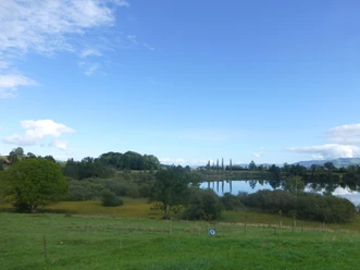
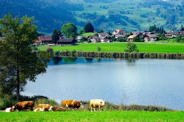
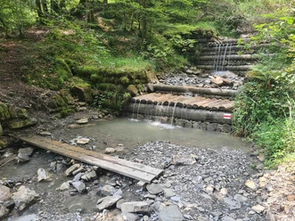
This hike mostly leads away from the waters yet still has its charm. Along the hiking trail there are four small lakes: Geistsee, Dittligsee, Übeschisee and Amsoldingersee. After the retreat of the Aare glacier, they remained on the moraine ridge between the Gürbe and Aare valleys. The lakes are under nature protection and are accordingly little developed and only partially accessible. The wonderful landscape of the Thuner Westamt, the ever rising pre-Alps and Alps, guarantee a great hike nonetheless.
At Seftigen station, follow the hiking trail signpost towards Gurzelen. In the small village with the pretty church, take the path towards Geistsee and cross the Riederwald. Shortly after the Geisthubel, the small, hidden Geistsee appears. Then comes the Längebühlwald and the wonderful Dittligsee, whose bathing platform is highly recommended. Afterwards follows a section through the hollows and heights of the Westamt. Soon the Thun military training area and thus also the dark Übeschisee are reached. From here it is only a few steps to the hidden Amsoldingersee.

Good to know
Pavements
Best to visit
Equipment
Directions & Parking facilities
Outbound: by train via Thun or Belp to Seftigen.
Return: from Amsoldingen by STI bus to Thun.
Additional information
Literature
Hiking suggestion from the free brochure Hiking by the Water, by the Bernese Hiking Trails Association.
License (master data)
Safety guidelines
Map
Swisstopo hiking map 253T Gantrisch 1:50'0000
Nearby


