From Basel to Mont Blanc (25 days) complete route


- 140:00 h
- 416.99 km
- 17,500 m
- 15,600 m
- 246 m
- 2,584 m
- 2,338 m
- Start: Basel
- Destination: Chamonix-Mont Blanc
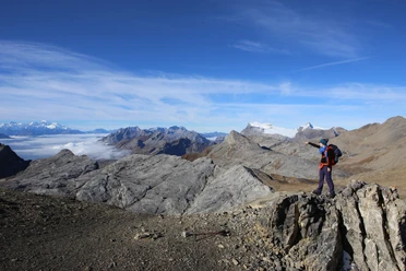
Hiking from Basel to Mont Blanc, the highest peak of the Alps at 4,810 meters: This is a trekking that takes 25 days. Day by day, a bit closer to the goal – that creates pure hiking enjoyment. The daily distances cover about 4 to 7 hours of pure walking time. If you don’t want to complete the entire route in one go, you can also split it into day or multi-day stages. Although that prevents a nice hiking rhythm from developing, it makes the undertaking easier to plan into daily life. And the great thing is: you have a goal in mind for a longer period and can continue walking from where you stopped last time without major planning. The famous mountaineering village Chamonix is the destination. But if you still have the stamina after more than 436 km and possess the mountaineering equipment, you won’t miss the chance to top off the tour with an ascent of Mont Blanc. That would be the icing on the cake of this fine trekking route.

Good to know
Pavements
Best to visit
Directions
Stage 1: Basel – Dornach
Stage 2: Dornach – Mariastein
Stage 3: Mariastein – Laufen
Stage 4: Laufen – Beinwil
Stage 5: Beinwil – Welschenrohr
Stage 6: Welschenrohr – Obergrenchenberg
Stage 7: Obergrenchenberg – Sonceboz
Stage 8: Sonceboz – Chasseral
Stage 9: Chasseral – Erlach
Stage 10: Erlach – Murten
Stage 11: Murten – Freiburg
Stage 12: Freiburg – Rossens
Stage 13: Freiburg – Broc
Stage 14: Broc – Chalet du Soldat
Stage 15: Chalet du Soldat – Feutersoey
Stage 16: Feutersoey – Col du Sanetsch
Stage 17: Col du Sanetsch – Derborence
Stage 18: Derborence – Cabane Rambert
Stage 19: Cabane Rambert – Cabane de Sorniot
Stage 20: Cabane de Sorniot – Vernayaz
Stage 21: Vernayaz – Auberge de Salanfe
Stage 22: Auberge de Salanfe – Refuge de la Vogealle
Stage 23: Refuge de la Vogealle – Salvagny
Stage 24: Salvagny – Moëde Anterne
Stage 25: Moëde Anterne – Chamonix
Equipment
Normal hiking equipment, sturdy hiking boots, clothing for several days, possibly hiking poles.
The backpack should not weigh more than 12 to a maximum of 15 kilograms. The motto is "as much as necessary and as little as possible." For a multi-week hike, you don’t necessarily need to pack more than for a two-day hike, especially if you are hiking without camping gear and can repeatedly buy food for daily needs.
Directions & Parking facilities
Arrival: By train to Basel.
Return journey: By train from Chamonix.
Additional information
Literature
Wandermagazin SCHWEIZ, Issue 2/2021, Photo-Edition: From Basel to Mont Blanc. Rothus Medien, Solothurn, www.wandermagazin-schweiz.ch
License (master data)
Author´s Tip / Recommendation of the author
Safety guidelines
Map
Topographic maps 1:50,000 scale, 213T Basel, 223T Delémont, 232T Vallon St-Imier, 242T Avenches, 252T Bulle, 253T Gantrisch, 263T Wildstrubel, 272T St-Maurice, 282T Martigny.
Hiking map 1:25,000 scale, 3530 ET Samoens-Haut Giffre.
Our recommendations


Nearby