- 1:45 h
- 5.35 km
- 70 m
- 520 m
- 939 m
- 1,398 m
- 459 m
- Start: Grindelwald / Pfingstegg
- Destination: Grindelwald / Terminal
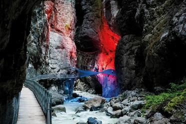
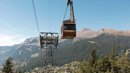
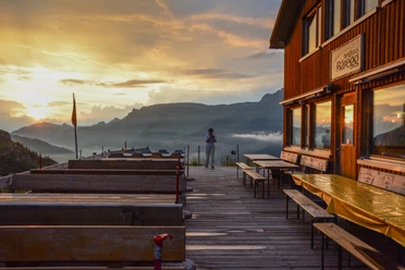
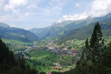
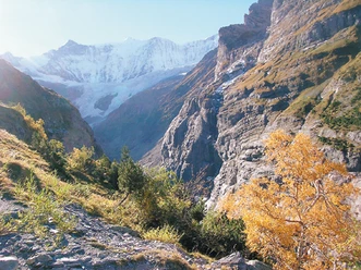
The starting point of the hike, the Pfingstegg mountain station, offers a particularly impressive view directly into the steep flank of the Eiger with its razor-sharp Mittellegi ridge. From there, you follow the scenic high trail to the Wysseflüö trail junction. Zigzagging, you now follow the white-red-white marked trail down through the forest to the former mountain guesthouse Marmorbruch. The mountain hiking trail soon leads to a small bridge over the Weisse Lütschine, located 100 meters below. The viewpoint on the other side of the bridge grants an impressive view into the Glacier Gorge. A short ascent follows until you descend through the forest to the Glacier Gorge Café. Here is also the entrance to the gorge, which bears witness to the tremendous power of the Lower Grindelwald Glacier. From the café, follow the now yellow-marked hiking trail along the left side of the Weisse Lütschine, which soon flows into the Schwarze Lütschine. At the road near Sand, you change the riverbank. Afterwards, continue along the water to Grund to the terminal in Grindelwald.
Background: Around 250 years ago, the Lower Grindelwald Glacier still extended as far as the area of today’s Glacier Gorge Hotel in the valley floor. It was the only Alpine glacier that flowed down below 1000 m above sea level. Over 400 years ago, part of the village Grindelwald had to be relocated because the glacier had "overrun" house after house. Due to the strong retreat of the glacier, the surrounding mountain slopes became unstable, so that in summer 2006, 500,000 cubic meters of rock fell down from the mountain slope at the valley entrance within moments – about as much as 500 single-family houses.

Pavements
- Trail (13%)Path (73%)Asphalt (3%)Street (11%)
Best to visit
- suitableDepends on weather
Directions
Pfingstegg – Marble Quarry – Glacier Gorge – Grindelwald Terminal
Equipment
- We recommend the following equipment: sturdy mountaineering boots, medium-sized backpack with hip belt, sun protection, rainwear, hiking poles, first aid kit, picnic, sufficient fluids, mobile phone
Directions & Parking facilities
- Public transportationOutbound: by train to Grindelwald / Terminal, then by bus to Grindelwald / Pfingsteggbahn, then by aerial cableway to Pfingstegg
Return: by train from Grindelwald Terminal
Additional information
- Berner Wanderwege, 031 340 01 01, info@beww.ch, bernerwanderwege.ch
Literature
License (master data)
Author´s Tip / Recommendation of the author
- On a walkable footbridge, you will be guided through rock galleries and several tunnels for about one kilometer into the 300-meter deep gorge of the Grindelwald Glacier Gorge. This impressive natural work of art is an interesting experience for young and old. A detour to the Bäregg mountain house is also worthwhile, from where you can see how far the Lower Grindelwald Glacier still reaches today. From the Wysseflüö junction, this detour both ways requires about two additional hours of hiking time and around 400 meters of elevation gain.
Safety guidelines
- This route runs entirely or partly on marked trails of the mountain hiking trail category.
Map
- Swisstopo hiking map: 254T Interlaken