- 3:40 h
- 7.51 km
- 960 m
- 590 m
- 977 m
- 1,774 m
- 797 m
- Start: Pfingsteggbahn
- Destination: Pfingstegg
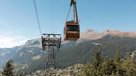
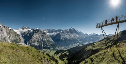
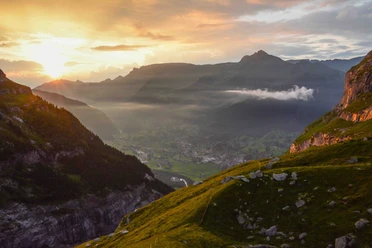
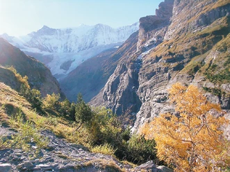
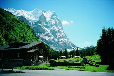
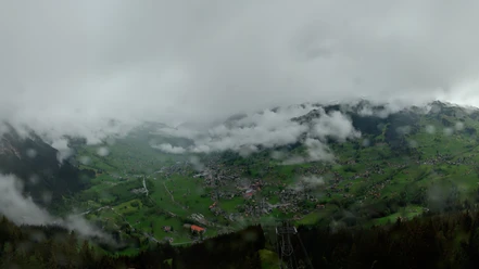
From the valley station of the Pfingsteggbahn, we follow the road slightly downhill, over the Mättenberg bridge and past the Schwarze Lütschine towards the glacier gorge. After about 10 minutes, a signpost directs us left over meadows and then through the forest to the mountain inn Marmorbruch. From here, a short detour to a small bridge on the right side is worthwhile, over the Weiß Lütschine 100 m below, and to the viewpoint into the glacier gorge on the other side of the bridge. From the inn, the path climbs steeply in a zigzag through the forest to the Wysseflüü junction. It continues less steeply on a high-altitude trail, with the view into the valley of the lower Grindelwald Glacier becoming increasingly attractive every meter. After about 2 1/2 hours of walking, the Berghaus Bäregg is reached. The location of the cozy and lovingly tended hut (an overnight stay is highly recommended) is unique, and you will surely enjoy every minute on its sun terrace. The return follows the same path to the Wysseflüü. From the junction, we remain on the high-altitude trail and reach the Pfingstegg mountain station after about 20 minutes, with a large playground, sun terrace, and summer toboggan run. From here, we can either take the Pfingsteggbahn down to Grindelwald or hike via the Milchbach restaurant to the Oberer Gletscher bus stop near the Hotel Wetterhorn (an additional 1 hour 10 min).

Pavements
- Street (11%)Trail (9%)Asphalt (1%)Path (79%)
Best to visit
- suitableDepends on weather
Equipment
- We recommend the following equipment: sturdy mountain boots, medium-sized backpack with hip belt, sun protection, rain gear, hiking poles, pocket pharmacy, picnic, sufficient fluids, mobile phone.
Directions & Parking facilities
- Public transportation
Arrival: by bus from Grindelwald station to Pfingsteggbahn (or 15 min on foot)
Return: by bus from Pfingsteggbahn to Grindelwald station (or 15 min on foot)
Additional information
- Bernese Hiking Trails Association, Bern, Tel.: 031 340 01 01, E-mail: info@beww.ch, Homepage: www.bernerwanderwege.ch
Literature
- Hiking book Bernese Oberland by the Bernese hiking trails association
License (master data)
Safety guidelines
- This route runs entirely or partially on mountain hiking trails.
Map
- Swisstopo hiking map 254T Interlaken 1:50,000