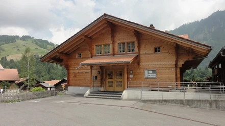
Habkern the little pearl in the Bernese Oberland

- 3:30 h
- 9.11 km
- 634 m
- 634 m
- 1,071 m
- 1,699 m
- 628 m
- Start: Habkern
- Destination: Habkern
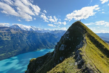
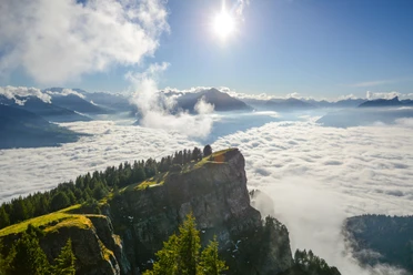
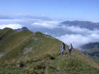
The name Habkern is derived from Habicht, which is also depicted in the municipal coat of arms. Habkern is also referred to as the little pearl. At least as far as the view is concerned, some effort and sweat are required, as the Eiger, Mönch, and Jungfrau are not visible from the village but only appear during the course of the hike. At the starting point of the hike, it is important to follow the direction Gemmenalphorn. Up a staircase, then up the village street to the Habkern 1115 signpost. Here turn left towards Bäreney and Gemmenalphorn. Now follows a pleasant ascent through pastures, later next to the Bröndlisegg ski lift. Continue climbing in the forest and staying on the ridge, you reach "Ufem Stand," the highest point of the hike. To the south, the view of the Bernese Alps has now opened up. Slightly downhill along the right flank passing Guggihürli, it goes to Bäreney still on a path, then on an alpine trail. From Bäreney, the first descent takes place on a road to Alpige. Then again downhill through pastures and forest, you reach Hellbode. For the rest of the hike, you now follow the Habkern signpost. On roads marked as hiking trails, you reach the end of the hike.

Good to know
Pavements
Best to visit
Directions
Directions & Parking facilities
Return: By bus from Habkern, Post to Interlaken West, then by train
License (master data)
Nearby


Download GPX file