- 5:00 h
- 10.85 km
- 400 m
- 400 m
- 922 m
- 1,184 m
- 262 m
- Start: Kiental
- Destination: Kiental
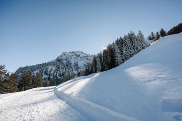
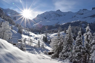
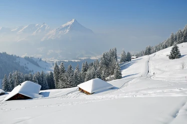
The Kiental Trail leads from Kiental via the valley station of the chairlift up to the Lengschwendi area. Along the sunny slope, you cross snowy meadows and climb up to Gürmschi. From there, it goes down into the forest to Zällergrabe/Fulbrunni. Here you have the option to return along the valley hiking trail to Kiental village (Kiental Trail blue, easy trail, 7.4 km).
Those who want can continue following the alpine path up to Tschingelsee (Kiental Trail red, medium difficulty trail, 11.4 km). The shaded, icy and snowy Tschingel area is even more impressive in winter than in summer. But don't forget warm clothes! After circumnavigating the lake, the snowshoe route follows the same way back to Zällergrabe/Fulbrunni. From here, follow the valley hiking trail (blue trail) via Losplatte back to Kiental village. Below is the elevation profile of the medium difficulty Kiental Trail (red).

Pavements
- Asphalt (33%)Trail (29%)Street (1%)Path (26%)Unknown (11%)
Best to visit
- suitableDepends on weather
Directions
- Kiental - Gürmschi - Tschingel - Losplatte - Kiental
Equipment
- We recommend the following equipment: sturdy and waterproof mountain boots, light to medium backpack, cold protection, sun protection, hiking poles, first aid kit, snacks, tea in a thermos bottle, mobile phone.
Directions & Parking facilities
- Getting thereby car via Reichenbach to Kiental to the valley station RamslauenenPublic transportation
Outbound and return travel: By train to Reichenbach. Then by post bus to Kiental, Ramslauenen
Additional information
- Berner Wanderwege Association, Bern, Tel.: 031 340 01 01, E-Mail: info@beww.ch, Homepage: www.bernerwanderwege.ch
License (master data)
Safety guidelines
- This route is signposted as a snowshoe route but not specially prepared.
Map
- Swisstopo national map 1248 Mürren 1:25,000