- 3:10 h
- 8.14 km
- 580 m
- 780 m
- 1,655 m
- 2,370 m
- 715 m
- Start: Laubbärgli
- Destination: Bühlberg
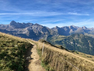
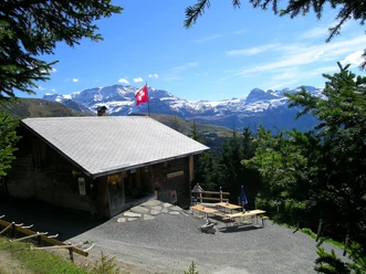
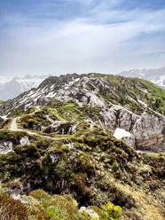
The Simmental gave its name to the red-spotted cattle bred in the Bernese Oberland. The area has been inhabited for about 6,500 years. Since 2003, prehistoric clothing items made of bast and leather, bronze brooches, shoe nails, as well as arrows and a quiver have been found on the Schnidejoch. These objects are about 1,000 years older than the glacier mummy Ötzi. In 1878, Lenk was struck by a devastating village fire. At the starting point of the hike at the Laubbärgli mountain house, the intermediate destination Hahnenmoospass should be noted on the signpost. On a zigzag path, the route climbs through forest and then over an alpine pasture. A flat section before Obere Seewele offers an opportunity to rest. A view of the landscape of the Upper Simmental with alpine pastures, forests, and mountain peaks such as the Wildstrubel and the Plaine Morte glacier is worthwhile. Once again over an alpine pasture and scree sections, the Tierberg is climbed. The view into the Entschligetal valley makes the effort of the ascent worthwhile. Southwards you now descend via the Lavey ridge to the Hahnenmoospass. Here it is worth enjoying the panorama again with the peaks around the Entschligetal. Now turn right towards Bühlberg. The descent to the hiking destination at the Bühlberg bus stop takes place on a road. It does not pose any particular demands as it is signposted as a hiking path. This last section is part of Via Alpina 1 from Wanderland Switzerland. The long-distance hiking trail leads from the Principality of Liechtenstein across 14 Alpine passes to Lake Geneva.

Pavements
- Path (63%)Trail (35%)Gravel (1%)Asphalt (1%)
Best to visit
- suitableDepends on weather
Directions
- Laubbärgli - Obere Seewele - Tierberg - Lavey - Hahnenmoospass – Bühlberg
Equipment
- We recommend the following equipment: sturdy and waterproof mountain boots, light to medium backpack, cold protection, sun protection, hiking poles, small first aid kit, snacks, tea in a thermos flask, mobile phone.
Directions & Parking facilities
- ParkingParking spaces at the Lenk school buildingPublic transportation
Outbound trip: By train via Zweisimmen to Lenk in Simmental, then by Laubbärgli bus to Laubbärgli
Return trip: By bus from Bühlberg to Lenk and then by train to Zweisimmen
Additional information
- Association Bernese Hiking Trails, Bern, Tel.: 031 340 01 01, E-Mail: info@beww.ch, Homepage: www.bernerwanderwege.ch
Literature
Hiking book Panoramic walks of the Bernese Hiking Trails
License (master data)
Safety guidelines
- This route runs wholly or partially on marked trails of the mountain hiking path category
Map
Swisstopo hiking map 1:50,000 263T Wildstrubel