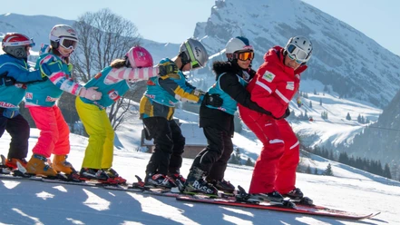
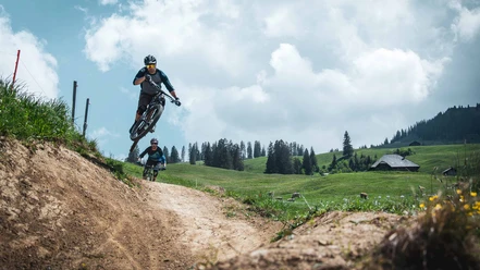
Nature experiences in the Diemtigtal
- 2:10 h
- 7.70 km
- 400 m
- 670 m
- 989 m
- 319 m
- Start: Riedli
- Destination: Oey
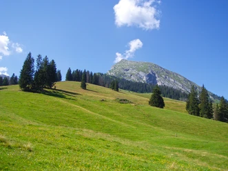
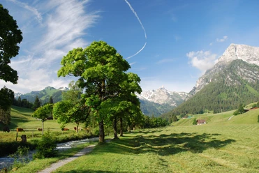
At the Riedli bus stop, the valley trail immediately leaves the road and heads downstream on a separate track. The route runs through charming mountain forest along the bank of the Fildrich and represents the ideal hiking trail par excellence: for more than 100 m you hardly ever move away from the valley stream. Over Wampfle and Chollerebrügg you reach Horboden, where the Fildrich flows into the Chirel. In summer 2005, this watercourse, as a raging torrent, completely devastated the valley floor from here to Oey across its entire width. The wounds of this event have since healed in an astonishing way, but even now extensive gravel areas and bare rock walls recall the drastic change in the landscape from that time. Where an ancient floodplain forest once stretched, the sometimes wildly raging mountain stream is now allowed much more space. This has the advantage for hikers that they are repeatedly offered beautiful views of the lively flowing water. At shallow spots, cozy little places also invite you to play and splash. A tunnel just about 50 m long, built especially for the users of the hiking trail, goes under the Spitze Fluh; then you reach the valley floor on a wide, gravelled path and from there, always along the west bank of the Chirel, into the village of Oey. After crossing the stream and main road, you finally reach the Oey-Diemtigen train station.

Good to know
Pavements
Best to visit
Directions
Riedli - Horboden - Grund - Oey
Equipment
We recommend the following equipment: Light trekking shoes, light backpack, sun protection, rain jacket, first aid kit, light picnic, enough fluids, mobile phone.
Directions & Parking facilities
Outbound: by train to Oey-Diemtigen. Then by bus to Riedli/Wiriehorn valley station
Return: by train from Oey-Diemtigen
Additional information
Bernese Hiking Trails, T 031 340 01 01, info@beww.ch, bernerwanderwege.ch
Literature
Hiking suggestion from the hiking book Short Hikes, hiking book series of the Bernese Hiking Trails
License (master data)
Safety guidelines
This route runs entirely on hiking trails.
Map
Swisstopo hiking map 1:50,000 253T Gantrisch
Nearby