- 4:00 h
- 15.02 km
- 2 m
- 547 m
- 678 m
- 1,225 m
- 547 m
- Start: Senggiweid (Grimmialp), Schwenden
- Destination: Marktplatz, Oey
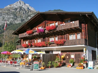
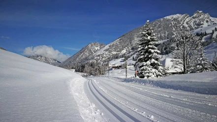
The path follows the valley waters Fildrich and Chirel and leads through forests and meadows. Alternately, the path passes flower-rich meadows and through the pleasantly cool forest in midsummer. Enjoy the rushing wild streams as you cross the mountain rivers on eleven bridges. Along the way, numerous resting benches and barbecue spots invite you to stop and relax.
During your hike you stay away from the road, but on the approx. 15 km long hiking route you are guided at intervals of 20 to 40 minutes to eleven postal bus stops (shortcuts possible, please observe the postal bus timetable).

Pavements
- Street (7%)Trail (92%)Path (1%)
Best to visit
- suitableDepends on weather
Directions
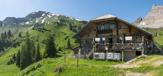
- Shortly after the starting point "Senggiweid" you will find the idyllic Blauseeli, which fascinates with its deep blue color. Many benches and even a "reading box" invite you to linger there. The path leads along the Senggibach to the Schwenden schoolhouse. Across the wide expanse of the lakeshore you reach the "Gwunderwasser" water playground below Tiermatti. Two stream crossings later you are at the Anger cattle show area. The roundwood hut with barbecue area offers shelter and seating options. If you are traveling with a group: You can reserve the barbecue area in advance at the Naturpark Diemtigtal office.
The further route runs mostly along the cool forest edge directly on the Fildrich. If the Wiriehornbahn is running and you have enough time, a detour to Nüegg from Riedli with a rapid scooter descent is worth it. The valley hiking trail leads you over roots and stones to Wampflensagi with another barbecue area. The descent before Horboden requires a bit of surefootedness. The last section before Oey impressively shows the power of the water: The Chirel is given ample room here, also due to lessons learned from the last big flood. Shortly before the endpoint the path leads past Katzenloch. Here you will also find a covered barbecue area, which can be reserved at the Naturpark Diemtigtal office. Equipment
Sturdy footwear, weather-appropriate clothing, provisions and enough drinks for the trip
Directions & Parking facilities
- Getting there
Motorway A6 Bern towards Zweisimmen, turn left 1 km after the Simmenfluhtunnel towards Diemtigtal. Follow the Diemtigtalstrasse valley inward for 19 km towards Schwenden, Grimmialp.
ParkingPaid parking is available at Senggiweid (starting point Grimmimutzweg).
For the hike in the opposite direction, there are free parking spaces at the Marktplatz Oey, directly after the Gasthof Hirschen (500 m from the village entrance Oey).Public transportationTake the train to Oey-Diemtigen. Then take the postal bus to the stop "Schwenden i.D., Grimmialp". From here a short walk (approx. 5 min) to Senggiweid, direction Grimmimutzweg.
Additional information
- An overview map of the Diemtigtal is available at the office of the Naturpark Diemtigtal.
Naturpark Diemtigtal
Bahnhofstrasse 20
3753 Oey
T 033 552 26 00
info@diemtigtal.ch
www.diemtigtal.ch
Open or closed?
Find out in our > summer sports report
Did you enjoy this route?
We look forward to your rating on > outdooractive License (master data)
Author´s Tip / Recommendation of the author
Culture enriches the valley hiking trail: Where do you encounter the first sculpture and what does it represent? > More info on "Handgmachts rund um d' Diemtigstube"
Safety guidelines
The path itself is not challenging, but the length of the hike should not be underestimated.