Outstanding ridge hike with a knee-friendly descent


- 4:30 h
- 10.05 km
- 1,200 m
- 287 m
- 1,112 m
- 2,063 m
- 951 m
- Start: Habkern
- Destination: Niederhorn
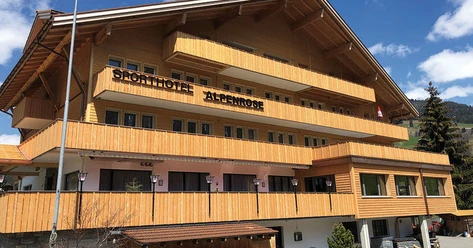
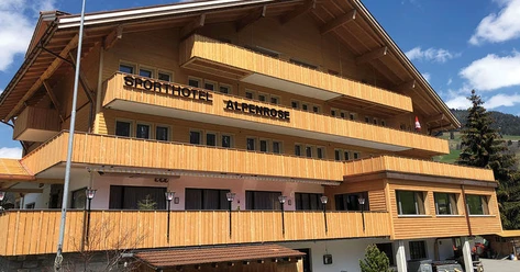
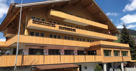
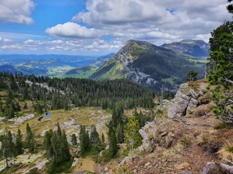
From the Zäundli bus stop we walk back about 100 m along the road and then turn right, opposite the Sporthotel Habkern, onto a gently ascending hiking trail. The road to Abschlächt Wang is crossed three times until you turn right at the P.1471 junction. It then goes up a ridge to the scenic grassy summit Ufem Stand (P.1685). At the P.1678 junction, continue to Alp Bäreney, where you turn right and follow the signposts towards Gemmenalphorn. At the Kühstand junction you reach the pass height, where there is a beautiful view towards the karst fields of the Sieben Hengste. We turn left and reach the summit of Gemmenalphorn half an hour later.
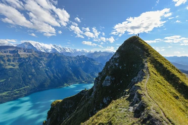
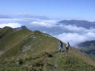
What follows is a beautiful crossing with only slight changes in altitude up to the Niederhorn, often following the ridge line and occasionally veering to one side or the other. The highest point of the hike is the 2063 m high Burgfeldstand, halfway along the ridge to the Niederhorn. To conclude, the west side of the mountain house still spoils you with an impressive view of Lake Thun before you take the gondola and train down to the lakeshore. If you want, you can extend the hike and descend from the Niederhorn along the ridge of the Gemschiflue to Beatenberg station (an additional 1 hour 30 minutes).

Good to know
Pavements
- Street (2%)Trail (4%)Path (94%)
Best to visit
- suitableDepends on weather
Equipment
- We recommend the following equipment: sturdy hiking boots, medium-sized backpack with hip belt, sun protection, rainwear, hiking poles, first aid kit, picnic, sufficient fluids, mobile phone.
Directions & Parking facilities
- Public transportation
Arrival: by bus from Interlaken West station to Habkern, stop Zäundli
Return: by bus from the valley station Beatenbucht of the Niederhorn cable car to Thun station or Interlaken West station
Additional information
- Bernese Hiking Association, Bern, Tel.: 031 340 01 01, Email: info@beww.ch, Homepage: www.bernerwanderwege.ch
License (master data)
Safety guidelines
- This route runs wholly or partly on mountain hiking trails.
Map
- Swisstopo hiking map 254T Interlaken 1:50,000