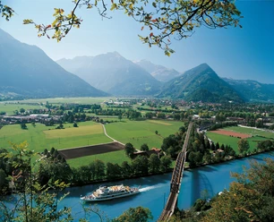
Viewing lodge above Brienzersee


- 4:40 h
- 11.11 km
- 720 m
- 1,220 m
- 1,040 m
- 2,136 m
- 1,096 m
- Start: Lombachalp/Roteschwand
- Destination: Habkern, Post
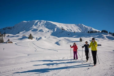
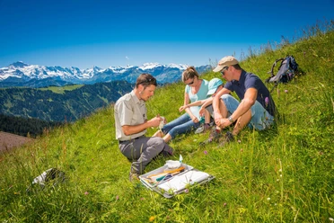
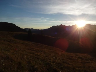
From Lombachalp follow the signposting to Augstmatthorn. The path initially ascends gently through a marsh area, then becomes steeper and you noticeably gain altitude. With some luck, you will encounter ibex in this section. Upon reaching the ridge, an impressive view opens up over the entire Brienzersee and the Bernese high Alps. From the junction, it's still 5 minutes to the left to the Augstmatthorn summit, which invites a pause. For the return, first follow almost exclusively the ridge edge – especially impressive is the section up to Suggiture. From here you descend steeply to the junction P.1877. Now the path along the ridge gently descends on a wide trail, allowing you to enjoy the panorama. Past junctions P.1861 and P.1755, at Horetalp you reach junction P.1734 where we leave the ridge. The path continues to the right over the alpine huts Horet and Alp Läger towards Habkern. Through the Schwendiwald forest it goes steeply down to the bridge over the Bodmibach. There we leave the forest and reach the Maiezyt farm near Tschiemen in a few minutes, where you can stop for refreshments. From here it is about half an hour mostly on the road to the village of Habkern.

Good to know
Pavements
Best to visit
Directions
Lombachalp – Augstmatthorn – Suggiture – Hardergrat - Horetalp – Tschiemen - Habkern
Equipment
We recommend the following equipment: sturdy mountain boots, medium-sized backpack with hip belt, sun protection, rainwear, hiking poles, first aid kit, picnic, sufficient fluids, mobile phone, mobile phone.
Directions & Parking facilities
Arrival: by bus from Interlaken West station via Habkern to Lombachalp-Roteschwand
Return: from Habkern, Post stop to Interlaken West station
Additional information
Association Bernese Hiking Trails, Bern, Tel.: 031 340 01 01, Email: info@beww.ch, Homepage: www.bernerwanderwege.ch
Literature
Hiking book Bernese Oberland of the Bernese hiking trails.
License (master data)
Safety guidelines
This route runs wholly or partly on marked trails of the mountain hiking path category.
Map
Swisstopo hiking map 254T Interlaken 1:50,000
Nearby