Rabeflue Circular Route


- 2:28 h
- 8.01 km
- 320 m
- 320 m
- 558 m
- 878 m
- 320 m
- Start: Thunerhof, Thun
- Destination: Thunerhof, Thun
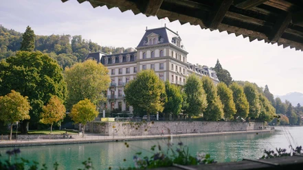
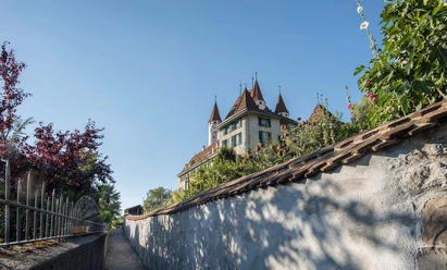
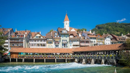
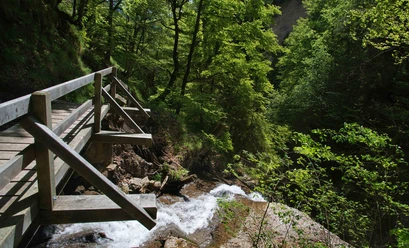
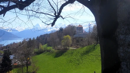
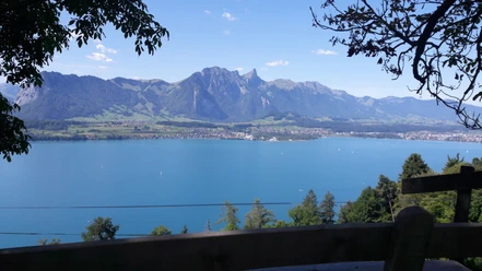
From the starting point at the Thunerhof bus stop, you first take the path through the Göttibach quarter under your feet, before the steepest section of the circular hike begins shortly. After overcoming these few meters of altitude, the path zigzags up the forest. Time and again, a fabulous view of the city of Thun is presented at the various viewpoints. After about an hour, you reach the highest point of the hike – the Rabeflue. Once again, there is a unique view over the roofs of the city to the Stockhorn chain, towards Steffisburg and further into the Aare valley. After a well-deserved break, you go down the same forest path you took on the ascent for a short distance. At the next possible junction, however, take the left turn and follow the hiking trail via Obere Wart, eventually passing the observation pavilion «Jakobshübeli». From there, 433 steps lead down to Hofstettenstrasse, where everyday traffic flows. The circular hike back to Thunerhof is best completed via the car-free Brahms-Quai, which runs along the Aare and parallel to the busy Hofstettenstrasse.
Want to discover more hikes?
Find your favorite route in the Bernese Oberland.

Good to know
Pavements
Best to visit
Directions
Equipment
Directions & Parking facilities
Additional information
Marktgasse 1
3800 Interlaken
Tel.: +41 33 826 53 00
Thun - Thunersee Tourism
Seestrasse 2
3600 Thun
Tel.: +41 33 225 90 00
thun@thunersee.ch
www.thunersee.ch
License (master data)
Author´s Tip / Recommendation of the author
Safety guidelines
Nearby
, Artwork: Lisa Lurati, Foto: Mathilde Marioni")


Download GPX file