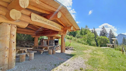
Springenboden circular hiking trails


- 2:45 h
- 6.97 km
- 230 m
- 230 m
- 1,286 m
- 1,499 m
- 213 m
- Start: Springenboden (Horboden)
- Destination: Springenboden (Horboden)
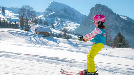
The 15-kilometer long winter hiking trails on Springenboden lead through the deeply snow-covered forests and meadows of the southern slope of the Diemtigtal, high above the valley floor of the Diemtigtal Nature Park. The hiking trail via "Alp Ottenschwand" is rather challenging and leads up to 1500 m above sea level. After the ascent, an impressive view of the inner Diemtigtal and the Simmental opens up. Back at the starting point, winter hikers can warm up with a hot drink in one of the mountain inns.
The shortcut variants "Ahorni-Satteli" and "Neuenstift-Satteli" are suitable for short walks with little elevation difference.

Good to know
Best to visit
Directions
Equipment
Directions & Parking facilities
On motorway A6, Bern-Thun-Zweisimmen, to the end of the motorway at Simmental (Simmenfluhtunnel). After turnoff to Diemtigtal approx. 20 km to Springenboden.
Parking spaces are available at the starting point of the winter hike.
Additional information
Bernese Hiking Association, Bern, Tel.: 031 340 01 01, Email: info@beww.ch, Homepage: www.bernerwanderwege.ch
License (master data)
Author´s Tip / Recommendation of the author
Variant(s)
Variant A: Ahorni 3 km, 71 meters ascent, highest point 1400 m above sea level, hiking time 1.5 h
Variant B: Neuenstift, 147 meters ascent, 5 km, highest point 1476 m above sea level, hiking time 2 h
Safety guidelines
Map
Nearby


Download GPX file