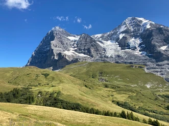
At the foot of the Eigenord wall


- 3:30 h
- 11.21 km
- 118 m
- 1,230 m
- 1,262 m
- 2,323 m
- 1,061 m
- Start: Eigergletscher
- Destination: Wengen
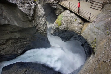
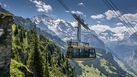
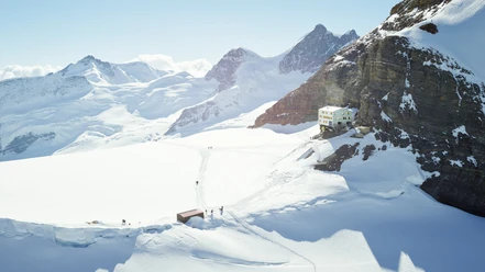
When exiting the train at Eigergletscher station, the massive north face of the Eiger inevitably catches the eye. However, the hike begins in the opposite direction. Behind the mountain station, the path descends over the narrow moraine ridge to the Hairagg junction. Straight ahead, you continue descending over the now wide mountain ridge, with more and more pines decorating the path edges. After a left turn, the path descends through the forest—passing the Wyssi Flue junction—down to the secluded and wonderfully located Biglenalp, where a bench by the stream invites you to take a break. Over the next roughly three kilometers, you barely lose any altitude. Initially through the forest, later over alpine meadows, the path leads past Mettlenalp. Shortly after the alpine huts, we leave the alpine road to the left and again descend on a mountain path towards Stalden. Following the Mendelssohnweg (the hiking route between Wengen and Wengernalp), you encounter the Staldefluh (at 1600 m, with a bench), where an impressive panorama opens up into the Lauterbrunnen Valley. On the further descent through the forest, you can see the Staubbach Falls on the opposite side of the valley. After the path leaves the forest, you reach the small hamlet of Schiltwald. From the P.1310 junction, you can optionally take a detour left to the Staubbachbänkli—with, as the name suggests, a beautiful view of the famous waterfall above Lauterbrunnen. Following the hiking path via Stutzweidli, the train station of the car-free village Wengen is reached in just over half an hour.

Good to know
Pavements
- Asphalt (3%)Path (46%)Trail (41%)Street (10%)
Best to visit
- suitableDepends on weather
Equipment
- We recommend the following equipment: sturdy mountain boots, medium-sized backpack with hip belt, sun protection, rainwear, hiking poles, first aid kit, picnic, sufficient fluids, mobile phone.
Additional information
- Bernese Hiking Trails Association, Bern, Tel.: 031 340 01 01, Email: info@beww.ch, Homepage: www.bernerwanderwege.ch
Literature
- Hiking guide Bernese Oberland by the Bernese Hiking Trails
License (master data)
Safety guidelines
- This route runs entirely or partially on mountain hiking trails.
Map
- Swisstopo hiking map 264T Jungfrau 1:50'000