- 4:00 h
- 14.81 km
- 90 m
- 380 m
- 534 m
- 908 m
- 374 m
- Start: Kreuzweg
- Destination: Kiesen
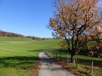
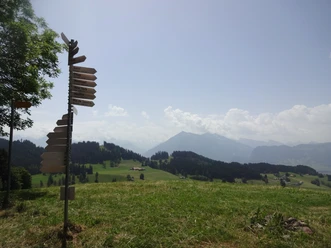
At the Kreuzweg stop in Unterlangenegg, not only the restaurant invites you in, but also the bakery tempts you to improve your picnic. Kreuzweg is a junction of several roads. It's best to walk about 300 meters along the road towards Heimenschwand first, then the hiking trail begins on the left, which ascends a long ridge via a field path. Always in view are the Stockhorn range and the Niesen. To the left rise the Bernese Alps with Blüemlisalp, Doldenhorn, Balmhorn, and Altels. At the hamlet of Port, the hiking trail leads down left to Rachholtern.
However, a short detour to the highest point of the municipality of Fahrni is worthwhile here. Since the year 2000, a memorial dedicated to Eduard Imhof (1895–1986), a significant Swiss cartographer and citizen of Fahrni, stands here. He was the founder of the Department of Cartography at the Swiss Federal Institute of Technology ETH Zurich and head of the working group for the creation of the Atlas of Switzerland. The Department of Cartography is the world's oldest university cartographic institute. Imhof's school maps and atlases became well known far beyond the university. He also made a name for himself as a relief modeler, draftsman, and landscape painter.
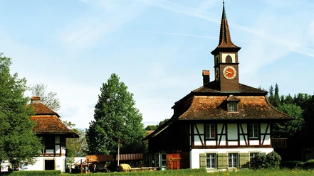
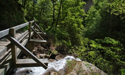
From Rachholtern, the hiking trail now leads towards Steffisburg, but turns near the village at Muri, to the right towards Schnittweierhöchi. Here you have an excellent view again of Thun, Heimberg, and nearby Steffisburg. Past the former inn Schnittweierbad and then following the course of the Schnittbach, the Rotache is soon reached, which flows from a deep ditch from the Buchholterberg towards the Aare. Via Boden, a district of Brenzikofen, and the Wydeli campsite, the hiking trail follows the Rotache until its confluence with the Aare. Over the wonderful Aare riverside path, the Jaberg bridge is soon reached, and shortly after the motorway underpass Kiesen.

Pavements
- Trail (70%)Street (30%)
Best to visit
- suitableDepends on weather
Directions
- Kreuzweg – Rachholtern – Muri - Schnittweierbad – Rotache - Wydeli – Rotachebrügg - Jabergbrügg - Kiesen
Equipment
- We recommend the following equipment: lightweight trekking shoes, light backpack, sun protection, rain jacket, first aid kit, light picnic, sufficient fluids, mobile phone.
Directions & Parking facilities
- Public transportation
Outbound: From Thun train station by bus to Unterlangenegg, Kreuzweg
Return: By train from Kiesen station towards Thun or Bern
Additional information
- Association of Bernese Hiking Trails, Bern, Tel.: 031 340 01 01, E-Mail: info@beww.ch, Homepage: www.bernerwanderwege.ch
License (master data)
Safety guidelines
- This route runs exclusively on marked trails of the hiking path category.
Map
swisstopo hiking map 253T Bern 1:50,000