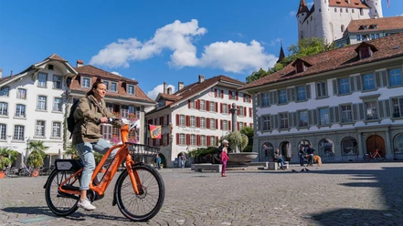
City and nature proximity at the same time


- 2:10 h
- 5.96 km
- 420 m
- 30 m
- 558 m
- 959 m
- 401 m
- Start: Thun
- Destination: Goldiwil / Dorf
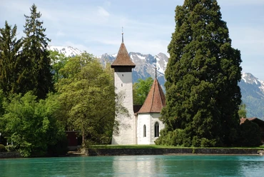
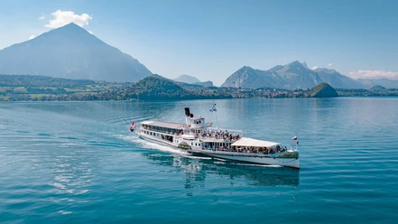
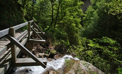
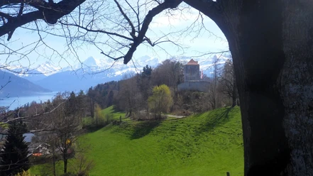
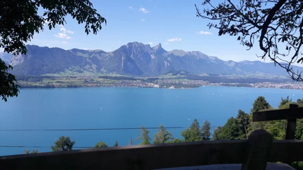
From Thun station square, head northeast along Aarefeldstrasse and over the covered Obere Holzschleuse, the Scherzlig sluice – one of the city's two surf spots. Across the Göttibach footbridge, continue onto the Aarequai, which transitions into Brahmsquai. Stroll along this popular promenade lakeside to Ländte Schadau opposite the eponymous castle. Already at the start of the hike, a splendid view of Lake Thun and the surrounding mountains opens up – looking back, Thun and the magnificent castle are presented. At Ländte, turn left into Benatzkyweg. Shortly afterwards, pass through the small forest in the Chartreuse quarter. Follow the hiking trail past the Hünibach roundabout and soon cross the eponymous stream. Immediately afterward, turn left. Quickly, the last houses are passed, and you enter the picturesque Cholereschlucht. Especially after rainfall, both the smaller and larger waterfalls along the always upward path impress. At the exit of the gorge, turn right and shortly after left onto a forest road. After crossing a stream, this changes into a path leading to Unteres Eichgut. On the paved road, ascend to Goldiwil, keep left, and shortly after reach the Goldiwil / Dorf bus stop. From Goldiwil, there is a magnificent view of the imposing Niesen as well as the city of Thun with the Aare.

Good to know
Pavements
Best to visit
Directions
Equipment
We recommend the following equipment: light trekking shoes, light backpack, sun protection, rain jacket, first aid kit, light picnic, enough liquids, mobile phone.
Directions & Parking facilities
Return: by bus from Goldiwil / Dorf
Additional information
Literature
License (master data)
Author´s Tip / Recommendation of the author
Safety guidelines
Map
Nearby


