Color games on Lake Brienz


- 2:15 h
- 8.40 km
- 170 m
- 180 m
- 562 m
- 619 m
- 57 m
- Start: Niederried near Interlaken / Station
- Destination: Interlaken West / Station
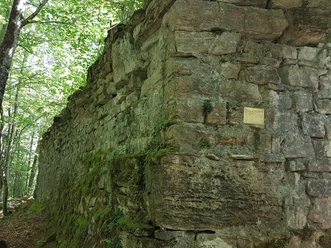
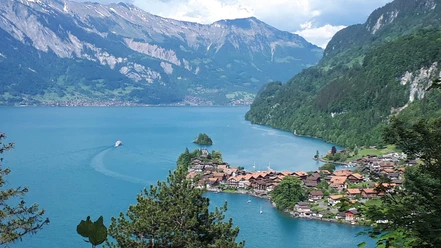
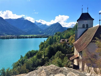
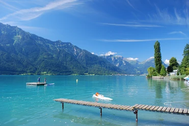
You leave the village of Niederried on the lakeside path heading west, following the Interlaken signage. Past the cozy lake bath, you soon reach the beautiful Brätliplatz Entenstein. After a forest section, the lakeside path gently rises, crosses the railway, and ends just before Ringgenberg at the main road. Follow this for 300 meters to Ringgenberg / Säge. The center of this small district is a playground framed by the arches of the railway viaduct. After passing under the viaduct, the hike continues via Büeliweg and through a forest section. A short descent follows down to the lake, then a lakeside path section – with beautiful resting opportunities – up to the Ringgenberg ship station. From there, the hike proceeds along the path called Katzenpfad to Goldswil. Along the way, the castle ruin catches the eye, the landmark of the village of Ringgenberg. Fifty-two stairs lead to the viewing tower, which offers a magnificent view of the lake and the surrounding mountains. Upon arrival in Goldswil, you reach the lower end of Lake Brienz with the outflow of the Aare river. Just before the railway bridge, the mountain peaks of the Jungfrau can be seen in the distance. Along the Aare canal, you pass the valley station of the Harderbahn and the Haberdarre square. In the Middle Ages, cereals such as oats (Haber) were dried on the latter, and animals were slaughtered. Furthermore, ships and rafts once landed at the transshipment point for goods traffic between Lake Brienz and Lake Thun. A short stretch continues along the Aare until you cross it and arrive at Interlaken West station.

Good to know
Pavements
Best to visit
Directions
Equipment
We recommend the following equipment: light trekking shoes, light backpack, sun protection, rain jacket, first aid kit, light picnic, sufficient fluids, mobile phone.
Directions & Parking facilities
Return journey: From Bern by train without changing to Interlaken West.
Additional information
Literature
License (master data)
Author´s Tip / Recommendation of the author
Safety guidelines
Map
Nearby