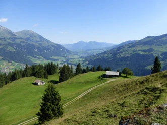
In the valley of the Entschlige


- 3:10 h
- 12.23 km
- 60 m
- 310 m
- 702 m
- 953 m
- 251 m
- Start: Frutigen / Rohrbach
- Destination: Reichenbach in the Kandertal / Train station
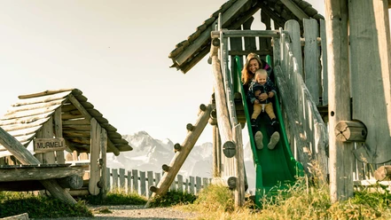
The bus stop Frutigen / Rohrbach is the starting point of the hike, which begins with a short steep descent into the valley floor at the Entschlige. The sound of the water accompanies the hikers during the varied tour. The route partly leads through open forest as well as along natural floodplains and gravel banks. Most of the time, it gently descends; smaller suspension bridges cross the Gempelegrabe and Zwüschebächgrabe streams. At Hohstalden, the eponymous suspension bridge spans the valley and the hiking trail. The view from below of this impressive, delicate structure is also striking. After the Grantibrügg, the valley floor widens. Opposite the campsite, there is a final suspension bridge before reaching the village of Frutigen and the train station, where the hike can be continued downstream towards Reichenbach. After passing under the railway line, you reach the Frutigen outdoor pool and back to the Entschlige. This then flows a few hundred meters later into the Kander and continues under this name first through Schwandi-Ey and then past the Reichenbach airfield. After a detour to Reudlen and crossing the Kander, you reach the village of Reichenbach in the Kandertal.
Background: The Entschlige river originates on the Engstligenalp, plunges over the Entschlige Falls into the valley, passes Adelboden, and then flows through floodplain areas to Frutigen, where it empties into the Kander. From the confluence with the Tschentenbach stream to just before Frutigen, it is a nationally significant floodplain area. The river is home to brown trout and bullhead fish. The gravel banks provide a habitat for ground-nesting bird species such as the sandpiper. Amphibians and reptiles thrive in the tributaries. The bridge at Hohstalden, with a span of 153 meters, is regarded as one of the longest suspension bridges in Europe.

Good to know
Pavements
Best to visit
Directions
Equipment
We recommend the following equipment: light trekking shoes, light backpack, sun protection, rain jacket, first aid kit, light picnic, sufficient fluids, mobile phone.
Directions & Parking facilities
Return trip: by train from Reichenbach i. K.
Additional information
Literature
License (master data)
Author´s Tip / Recommendation of the author
Safety guidelines
Map
Nearby
