- 4:40 h
- 10.86 km
- 1,200 m
- 1,200 m
- 816 m
- 1,856 m
- 1,040 m
- Start: Boltigen
- Destination: Mittagflue
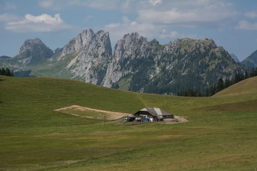
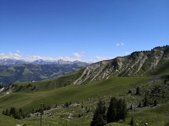
Visible from afar is the practically vertical rock face above Boltigen, facing "Mittag" (= south). Seen from the village, it appears as an intimidating summit reserved for mountaineers. However, from the northwestern side, it is accessible by a mountain hiking trail and thus also open to hikers. From Boltigen station, head north to the cantonal road, follow it downstream to the Hotel Bären, cross the street there, and climb towards Tubetal. From there, the path follows the slope westward, initially with a slight ascent through the forest and along the forest edge. In open pastureland, the mountain hiking trail branches off steeply to Ramseren. From there, the path runs initially level beneath the Mittagflue rock face, then ascends again to Nüschleten and continues steeply upwards to the summit of Mittagflue. Caution is advised at the summit area: just a few meters below the narrow path, the terrain drops almost vertically. However, resting here is highly recommended given the incomparable view. The gaze sweeps from St. Stephan in the upper Simmental over the summit range of the Diemtigtal to the lower Simmental and as far as Lake Brienz. Return to Boltigen is along the same route.

Pavements
- Asphalt (6%)Street (7%)Path (60%)Trail (27%)
Best to visit
- suitableDepends on weather
Directions
- Boltigen - Tubetal - Ramsern - Mittagflue - Boltigen
Equipment
- We recommend the following equipment: sturdy hiking boots, medium-sized backpack with hip belt, sun protection, rainwear, hiking poles, first aid kit, picnic, sufficient fluids, mobile phone.
Directions & Parking facilities
- Parking
Parking at Boltigen train station
Public transportationOutbound and return travel: by train via Spiez to Boltigen.
Additional information
- Berner Hiking Association, Bern, Tel.: 031 340 01 01, email: info@beww.ch, homepage: www.bernerwanderwege.ch
License (master data)
Safety guidelines
- This route runs entirely or partly on mountain hiking trails.
Map
Swisstopo hiking map 1:50,000 253T Gantrisch