- 5:00 h
- 12.05 km
- 750 m
- 1,200 m
- 911 m
- 2,028 m
- 1,117 m
- Start: Gimmelwald (Schilthornbahn)
- Destination: Stechelberg / Hotel
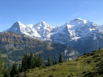
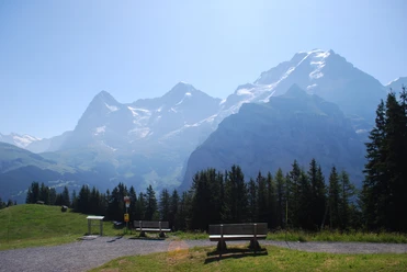
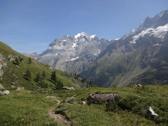
Just after about 100 meters from the starting point, Gimmelwald railway station, follow the mountain hiking trail and turn right onto a meadow path. This path leads upward over meadow slopes to a junction at the forest edge. Here, take the left path towards the Sprutz waterfall. Then continue westwards, gently downhill. Finally, you reach the Schiltbach, which spectacularly plunges over a rocky cliff into the depths. The hiking trail passes behind the Sprutz waterfall – which lives up to its name and also provides refreshment. Afterwards, it goes zigzagging up to Spilbodenalp. As you climb further, initially towards the Rotstock hut, the view of the Bernese high Alps becomes more dominant. Shortly after the incline eases, you pass the turnoff to Bryndli. At the next junction (point 2027), turn left. Now descend gently to the alpine huts Sefi-Oberbärg. The descent then becomes a bit steeper until you reach the valley floor of the Sefinen valley at the rushing Sefi-Litschena. Along the left side of the stream, the path goes gently downhill; first on a hiking trail, then on a gravel road. Before the stream leads into a gorge, cross to the other side. The still white-red-white marked mountain hiking trail now goes steeply downhill through the forest past the Sefinenfall. The water falls here in several stages into the depths, nestled in the wild mountain nature. The end of the hike is now in sight shortly after leaving the forest, reaching the destination Stechelberg.
Background: The Sefi-Litschena, also known as Sefinen-Lütschine, originates at just under 1600 m above sea level at the very end of the Sefinen valley. The nearly nine-kilometre-long stream roars over the Sefinenfall into the Lauterbrunnen valley and flows into the Weisse Lütschine at about 895 m above sea level.

Pavements
- Asphalt (3%)Path (74%)Trail (22%)Gravel (1%)
Best to visit
- suitableDepends on weather
Directions
- Gimmelwald – Spilbodenalp – Sefi-Oberbärg – Sefinental – Stechelberg
Equipment
- We recommend the following equipment: sturdy hiking boots, medium-sized backpack with hip belt, sun protection, rainwear, hiking poles, first aid kit, picnic, sufficient liquids, mobile phone.
Directions & Parking facilities
- Public transportationOutbound journey: by bus to Stechelberg / Schilthornbahn, then by cable car to Gimmelwald (Schilthornbahn)
Return journey: by bus from Stechelberg / hotel
Additional information
- Berner Wanderwege, 031 340 01 01, info@beww.ch, bernerwanderwege.ch
Literature
License (master data)
Author´s Tip / Recommendation of the author
- A manageable detour leads to the beautifully situated Rotstock hut. At the fork towards Sefi-Oberbärg, keep right – on the Höhenweg the route then goes gently up and down toward the valley to the Rotstock hut, where you can enjoy a wonderful stop. From there, follow the signs towards Stechelberg. At point 1837, you will meet the hiking trail coming from Sefi-Oberbärg (approximately 30 minutes longer).
Safety guidelines
- This route runs exclusively on marked paths of the category mountain hiking trail.
Map
- swisstopo hiking map: 264T Jungfrau