- 5:30 h
- 10.42 km
- 1,800 m
- 120 m
- 659 m
- 2,178 m
- 1,519 m
- Start: Blumenstein
- Destination: Stockhorn
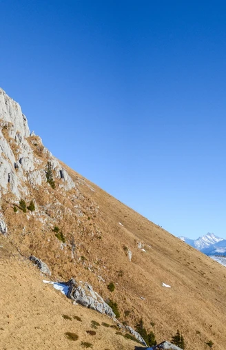
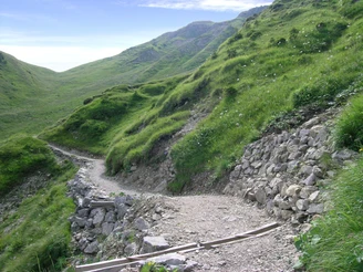
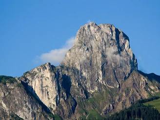
From the village square in Blumenstein, first a few steps along the main road into the valley. Then turn towards the hillside and up to the magnificent farmhouses in Wäsemli. Always off the road, you soon reach the Bluemisteichilche with significant stained glass windows from the Upper Rhine school (14th century), frescoes, and beautiful wood carvings. Church, tithe barn, and former parsonage form one of the most beautiful building groups in the Canton of Bern. Slightly above the church over the Fallbach and, continuously steeply rising, up to point 983 in the Möntschelenwald. On a narrow forest path, go up through the steep mountain forest to Alpetli. The old Zügelweg (“zügle” = to change) overcomes the steep slope of the Chrümmelwäge with many switchbacks. Cross the south flank of the Walalp ridge, down an alpine path to the Oberi Walalp mountain hut and then steeply up again into the pronounced saddle Baachegg. Over rocky steps, head directly towards the Stockhorn face and reach the shoulder of the horn at its foot edge. Passing the cable car station with panoramic restaurant, follow the signposted flower teaching trail up to the Stockhorn summit. The panoramic view over the Mittelland, the Jura, and the entire ring of mountain giants is unique.
Good to know
Pavements
Best to visit
Directions
Equipment
Directions & Parking facilities
Getting there: By train to Thun. From there by bus to Blumenstein.
Return: By Stockhorn cable car to Erlenbach. From there by train.
Additional information
Literature
License (master data)
Safety guidelines
Map
Nearby
