- 4:30 h
- 15.92 km
- 680 m
- 670 m
- 1,228 m
- 558 m
- Start: Oey-Diemtigen
- Destination: Grimmialp
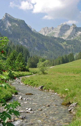
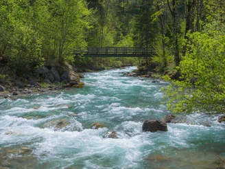
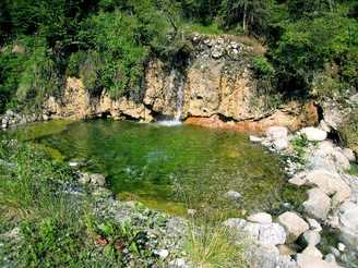
Already on the edge of the village of Oey, at the Chirel bridge, the asphalt can be left behind. A carefully laid footpath leads through magnificent mixed forest directly along the rushing mountain stream. Halfway to the forest clearing in the Grund, you cross the mountain road branching off to Diemtigen. Particularly charming are the gurgling, bubbling little waters, the sun-glittering pools, and the beautiful floodplain landscape on the way to Horboden. You cross the Chirel on a covered wooden bridge and then climb quite steeply through the forest for a short time. A forestry road then leads with a gentle slope to the Cholerebrügg at the Fildrich. Along the way, splendid views of the Chilchflue rising on the opposite valley slope, whose nose was blasted away to create better access to the rear part of the valley. The continuation along the bank of the Fildrich past Wampfle–Säge corresponds to the ideal hiking path par excellence. You rarely move further than 100 m away from the valley stream, which above Riedli rushes unused and delights hikers with its melody.
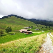
The hamlet Zwischenflüh has an extremely gentle and lovely landscape into which the scattered, dark brown houses are attractively integrated. The section from Anger looks quite different: steep, threatening cliffs of the Schurtenflue rise on the right to the Meniggrat. However, the valley floor widens again, and the almost flat path allows nice views of the mountains in the remotest part of the municipality of Diemtigen. This section is especially delightful when the mountain meadows on both sides of the Fildrich are in full bloom. In Seebode (7 minutes past Tiermatti), a detour to the Tiermatti inn (post bus stop) is worthwhile; its richly decorated facade faces the street. The hiking route approaches the valley road. Here, you will also find the post bus stop at the Schwenden post office. Hiking the route in the opposite direction is also highly rewarding.
Good to know
Pavements
Best to visit
Directions
Oey-Diemtigen - Grund - Horboden - Zwischenflüh - Schwenden - Grimmialp
Equipment
We recommend the following equipment: lightweight trekking shoes, light backpack, sun protection, rain jacket, pocket first aid kit, light picnic, enough fluids.
Directions & Parking facilities
Arrival: by train to Oey-Diemtigen
Return: by bus from Grimmialp/Hotel Spillgerten to Oey-Diemtigen
Additional information
Association Berner Wanderwege, Bern, Tel.: 031 340 01 01, E-Mail: info@beww.ch, Homepage: www.bernerwanderwege.ch
Literature
Hiking suggestion from the Simmental - Saanenland hiking book, hiking book series of the Berner Wanderwege
License (master data)
Safety guidelines
This route runs exclusively on signposted paths of the hiking path category
Map
Swisstopo hiking map 1:50,000 253T Gantrisch
Nearby
