UNESCO themed trail: Pfingstegg - Bäregg - Pfingstegg No. 24 & U2


- 2:25 h
- 5.58 km
- 428 m
- 405 m
- 1,368 m
- 1,774 m
- 406 m
- Start: Pfingstegg mountain station, Grindelwald
- Destination: Pfingstegg mountain station, Grindelwald
The UNESCO themed trails are digitally walkable via smarTrails. You only need this link and an internet-enabled smartphone. Alternatively, guided tours can also be booked here.
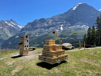
The hike from Pfingstegg to Bäregg is not only scenic but also educational. At seven locations, you learn how the spectacular rockfall at the Eiger occurred, why the glacier lake formed by it constitutes a danger, and how the image of a mountain hut on the edge became a symbol for the potentially dramatic consequences of climate change in Europe.
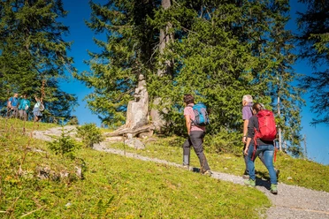
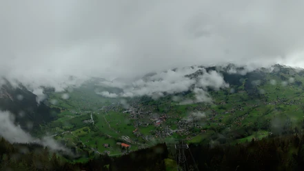
The path winds gently from Pfingstegg over open meadows and through the coniferous forest towards the glacier. As soon as the forest is left behind, the steep ascent to the hut begins. In the background, the snow-covered peaks of the Fiescherhörner are visible. The trail becomes narrower and winds upwards curve after curve. In the valley on the right below lie the remains of the Lower Grindelwald Glacier. If you look closely, pieces of ice and the glacier lake are visible.

Good to know
Pavements
- Unknown (50%)Path (48%)Trail (1%)Asphalt (1%)
Best to visit
- suitableDepends on weather
Directions
- Pfingstegg - Bäregg - Pfingstegg
Equipment
Day hiking backpack (approx. 20 liters) with rain cover
Sturdy and comfortable footwear
Weather-appropriate and durable clothing in multi-layer principle
Sun and rain protection
Provisions and drinking water
First aid kit
Pocket knife
Mobile phone
If applicable, telescopic poles, headlamp, map material
Directions & Parking facilities
- Getting there
The fastest way to the Jungfrau Region from Basel and Geneva is via Bern. From Zurich, the route via Lucerne and the Brünig Pass is recommended. The pass is open all year round.
From the south, arrival is via Grimsel or Susten Pass to the Jungfrau Region. Both passes are only open in summer. Alternatively, the Simplon Pass with subsequent car transport through the Lötschberg Tunnel is an option.
Grindelwald
From Interlaken, follow the main road to Zweilütschinen. Here turn left towards Grindelwald. The entire drive takes about 30 minutes and leads over a partially winding route.
ParkingGrindelwald
There are three public parking garages: Parkhaus Eiger+ (252 parking spaces), Parkhaus Sportzentrum (160 parking spaces), and the new Terminal Parking (1000 spaces) of the V-Bahn. Alternatively, the parking lot in Grindelwald Grund can also be used.
Public transportationThanks to its central location in Europe, Switzerland is served by international trains from over 12 countries. Within Switzerland, Intercity trains run directly from Basel and Lucerne to the Jungfrau Region. Travelers from Zurich change trains in Bern. Trains operate every half hour.
Grindelwald
From Interlaken Ost station, you reach Grindelwald without changing trains by Berner Oberland Bahn (BOB). Important: Board the rear part of the train as it splits at Zweilütschinen. If you board the front, you will end up in Lauterbrunnen. The journey takes 30 minutes to Grindelwald Terminal (V-Bahn). Three minutes later you reach the final stop in the village.
Grindelwald has three stations (Terminal, Grund, and Dorf). The final station (Dorf) is located in the center of Grindelwald.
Additional information
License (master data)
Author´s Tip / Recommendation of the author
Safety guidelines