- 2:50 h
- 9.46 km
- 130 m
- 840 m
- 1,615 m
- 2,341 m
- 726 m
- Start: Männlichen
- Destination: Alpiglen
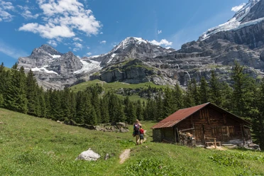
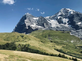
The hike begins with a detour (time: 45 min) to the summit of Männlichen. In principle, this could be omitted as you have to hike back to the Männlichen mountain station anyway. However, you are rewarded with a view of the spectacular backdrop of the Bernese Alps’ trio of peaks and the deep views into the Lauterbrunnen Valley. Back at the Männlichen mountain station, we turn left at the trail junction P.2202 and follow the 1900 high route towards Alpiglen. Slightly descending, passing beautiful small ponds along the hiking trail, we lose more and more altitude. The vegetation is characterized by blueberry and juniper bushes as well as pines. The first Swiss stone pines – also called Zirbel pine – are encountered shortly before Bustiglen. These trees, very resilient to weather conditions, with their aromatic-scented wood, can live up to 1000 years. With some luck, you can observe the black-and-white speckled nutcracker, which likes to feed on Swiss stone pine seeds. From Bustiglen, the route continues on an alpine road past Alp Mettla, where magnificent Swiss stone pines can be admired repeatedly. On a wide hiking path, you reach Alpiglen, where before your train ride you can once again enjoy the impressive scenery from the guesthouse terrace.

Pavements
- Trail (59%)Street (4%)Path (35%)Asphalt (2%)
Best to visit
- suitableDepends on weather
Equipment
- We recommend the following equipment: sturdy hiking boots, medium-sized backpack with hip belt, sun protection, rainwear, hiking poles, first aid kit, picnic, sufficient fluids, mobile phone.
Directions & Parking facilities
- Public transportation
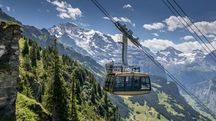
Arrival: by cable car from Wengen or Grindelwald Terminal to the Männlichen mountain station.
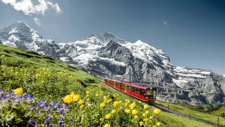
Return: by Kleine Scheidegg Railway to Grindelwald station
Additional information
- Bernese Hiking Trails Association, Bern, Tel.: 031 340 01 01, E-mail: info@beww.ch, homepage: www.bernerwanderwege.ch
Literature
- Hiking book Bernese Oberland of the Bernese Hiking Trails
License (master data)
Safety guidelines
- This route runs entirely or partly on mountain hiking trails.
Map
- Swisstopo hiking map 254T Interlaken 1:50,000