Over the Hasliberg to the Brünig Pass
- 2:35 h
- 7.23 km
- 650 m
- 89 m
- 595 m
- 1,091 m
- 496 m
- Start: Meiringen
- Destination: Brünig Pass
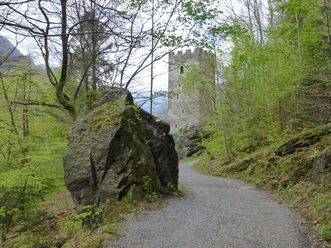
From Meiringen station, walk north towards the edge of the forest at Chilchberg. Here stands the Amts House (district administration), whose gable fields are decorated with paintings by Arnold Brügger. On the small road through the forest, ascending, you reach the debris field of two rockfalls. Since further rockfalls were feared, a large part of the rock was blasted in 1975, thereby eliminating the danger. Shortly after the first bend, you leave the road and take a shortcut up to the houses of Schwand. At the turnaround loop below the houses, a track branches off to Roift (to Hohfluh/Post 40 min); in a wide arc, the well-maintained path bypasses the castle, a wooded fluh corner below Hohfluh, and reaches the Hasliberg panorama trail at Schlupf. The views over the valley floor to the basin of Wandelalp, towards the Brienzergrat and to the Bernese Oberland's snowy giants become increasingly beautiful. Through beautiful beech forest, you now reach the Hasliberg road. You cross it and ascend in the same direction through the forest to the clearing at Galli. The nicely laid out hiking trail, which now leads down towards the Brünig Pass, was created at the time by a working group of the IBG (International Encounter in Community Service). This association based in Weil der Stadt near Stuttgart aims to bring together young people from all countries in project deployments and at the same time provide them with insights into the lifestyle of other regions.
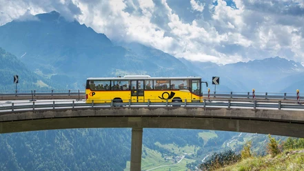
Mostly gently descending, you reach the pass road at the Brünig Pass summit and follow it to the station of the Zentralbahn. This is the only narrow-gauge and also rack railway of the SBB: with its new rolling stock (including panorama coaches), it has become a major attraction. The project to connect the two narrow-gauge tourist lines Brünig and Montreux–Bernese Oberland with a third rail between Interlaken Ost and Zweisimmen has not yet been realized.

Good to know
Pavements
Best to visit
Directions
Meiringen - Schwand - Schlupf - Galli - Brünig Pass
Equipment
We recommend the following equipment: Lightweight trekking shoes, light backpack, sun protection, rain jacket, small first aid kit, light picnic, sufficient liquids, mobile phone.
Additional information
Association Berner Wanderwege, Bern, Tel.: 031 340 01 01, E-mail: info@beww.ch, Homepage: www.bernerwanderwege.ch
Literature
Hiking suggestion from the hiking book Jungfrau Region Brienzersee - Oberhasli, hiking book series of the Berner Wanderwege
License (master data)
Safety guidelines
This route runs exclusively on marked paths of the hiking trail category
Map
Swisstopo Hiking Map 1:50,000 254T Interlaken
Nearby